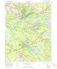
1957 Map of Browns Mills
USGS Topo · Published 1972About this map
Fort Dix Military Reservation dominates the northern landscape of this map, meeting the community of Browns Mills and the winding waters of Mirror Lake. The area reflects a distinct New Jersey Pinelands character, where complex water systems support agricultural and industrial activity. Numerous cranberry bogs are scattered near Whitesbog and along Cove Run, illustrating the region's historic reliance on specialized wetlands farming. To the east, the site of Hanover Furnace marks an era of early iron production, while the Penn Central rail line cuts through Browns Mills Junction and Upton. In the south, the expansive Lebanon State Forest provides a wilderness contrast to burgeoning residential developments like Presidential Lakes and Country Lake Estates. Local landmarks such as the Laurel Hill Sch and the State Hospital near Four Mile anchor the social history of these Burlington County townships.
Find a feature on this map
79 named features on this map. Tap any name to fly to it.
Don’t see what you’re looking for? This feature index may not catch every label — zoom into the map to look around manually.
Map Details
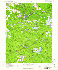
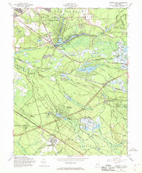
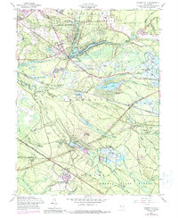
Editions of this 1957 Browns Mills Map
4 editions found
Other maps of this area

1884 · Whitings
USGS Topo · 1:62,500

1888 · Bordentown
USGS Topo · 1:62,500

1888 · Pemberton
USGS Topo · 1:62,500

1888 · Cassville
USGS Topo · 1:62,500

1888 · Whitings
USGS Topo · 1:62,500

1893 · Bordentown
USGS Topo · 1:62,500

1894 · Cassville
USGS Topo · 1:62,500

1894 · Pemberton
USGS Topo · 1:62,500

1898 · Pemberton
USGS Topo · 1:62,500

1900 · Cassville
USGS Topo · 1:62,500
Featured Places
- Southampton Township, NJ
- Plumsted Township, NJ
- Wrightstown, NJ
- New Hanover Township, NJ
- Pemberton Township, NJ