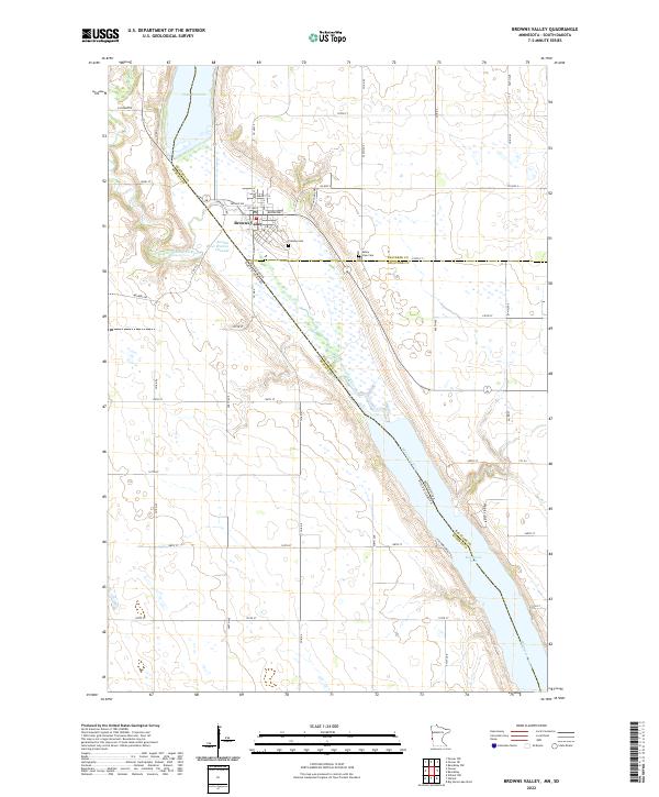
2022 Map of Browns Valley
USGS Topo · Published 2022About this map
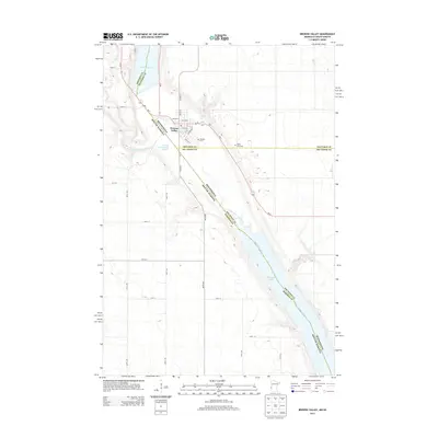
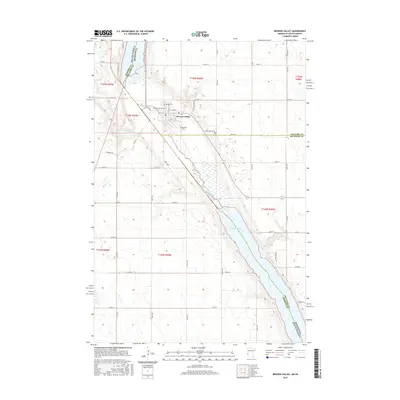
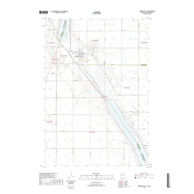
Browns Valley occupies a unique geological position at the narrow continental divide between the Arctic Ocean and Gulf of Mexico drainage basins. This landscape is defined by the Ancient River Warren Channel, a massive prehistoric waterway that carved the valley currently occupied by the south-flowing Little Minnesota River and Minnesota River, alongside the north-flowing waters of Lake Traverse. The town's grid extends toward the shoreline of Big Stone Lake, where Columbia Beach Rd and Prairie View Dr line the waterfront. Local heritage is preserved at sites like Plateau Cem and Valley View Cem, while the complex jurisdictional geography is marked by the meeting of Traverse Co, Big Stone Co, and Roberts Co at the border of Minnesota and South Dakota.
Find a feature on this map
56 named features on this map. Tap any name to fly to it.
Don’t see what you’re looking for? This feature index may not catch every label — zoom into the map to look around manually.
Map Details
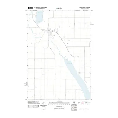
Editions of this 2022 Browns Valley Map
This is the sole edition of this map. No revisions or reprints were ever made.
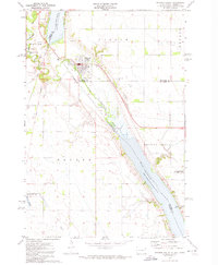
Historical Maps of Browns Valley Through Time
7 maps found
Featured Locations
- Big Stone County, MN
- Traverse County, MN
- Roberts County, SD
- Browns Valley, MN
- Lake Traverse District, SD