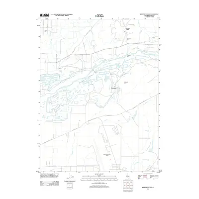
2012 Map of Browns Valley
USGS Topo · Published 2012About this map
The Yuba Gold Field dominates the central landscape of this Yuba County study, where a complex network of dredge tailings and waterways reveals the deep-seated industrial heritage of the Yuba River valley. To the north, the community of Browns Valley sits near its namesake Browns Valley Cem, while the southern portion of the quadrangle is largely occupied by the sprawling installations of the Beale Air Force Base Airport.
Find a feature on this map
39 named features on this map. Tap any name to fly to it.
Don’t see what you’re looking for? This feature index may not catch every label — zoom into the map to look around manually.
Map Details
Editions of this 2012 Browns Valley Map
This is the sole edition of this map. No revisions or reprints were ever made.
Other maps of this area

1888 · Marysville
USGS Topo · 1:125,000

1888 · Smartsville
USGS Topo · 1:125,000

1891 · Marysville
USGS Topo · 1:125,000

1891 · Smartsville
USGS Topo · 1:125,000

1892 · Smartsville
USGS Topo · 1:125,000

1894 · Smartsville
USGS Topo · 1:125,000

1894 · Marysville
USGS Topo · 1:125,000

1895 · Marysville
USGS Topo · 1:125,000

1895 · Smartsville
USGS Topo · 1:125,000

1910 · Wheatland
USGS Topo · 1:31,680