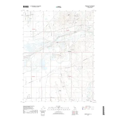
2018 Map of Browns Valley
USGS Topo · Published 2018About this map
Browns Valley sits at the northern edge of this landscape, where the terrain shifts from the Trainer Hills and Browns Valley Ridge toward the broad drainage of the Yuba River. This 2018 survey illustrates a complex hydraulic environment defined by the Cordua Canal and industrial-scale land formations near Hammonton, alongside natural features like Marysville Lake. The map provides significant detail for local historians, identifying both the Browns Valley Cem and Long Bar Cem, reflecting generations of settlement in this foothill region. To the south, the expansive footprint of Beale Air Force Base dominates the lower half of the sheet, with a dense network of patrol roads including Blair Way and Doolittle Dr. Significant watercourses such as Reeds Cr and Hutchinson Cr wind through the base property, contrasting with the more rugged northern elevations around McCartie Hill and Owsleys Bar.
Find a feature on this map
63 named features on this map. Tap any name to fly to it.
Don’t see what you’re looking for? This feature index may not catch every label — zoom into the map to look around manually.
Map Details
Editions of this 2018 Browns Valley Map
This is the sole edition of this map. No revisions or reprints were ever made.
Other maps of this area

1888 · Marysville
USGS Topo · 1:125,000

1888 · Smartsville
USGS Topo · 1:125,000

1891 · Marysville
USGS Topo · 1:125,000

1891 · Smartsville
USGS Topo · 1:125,000

1892 · Smartsville
USGS Topo · 1:125,000

1894 · Smartsville
USGS Topo · 1:125,000

1894 · Marysville
USGS Topo · 1:125,000

1895 · Marysville
USGS Topo · 1:125,000

1895 · Smartsville
USGS Topo · 1:125,000

1910 · Wheatland
USGS Topo · 1:31,680