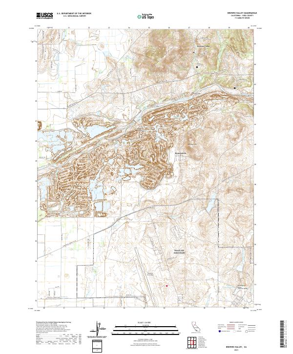
2021 Map of Browns Valley
USGS Topo · Published 2021About this map
Beale Air Force Base dominates the southern landscape of this 2021 study, where the military installation meets the rolling transitions of the Sacramento Valley Central Valley. Further north, the Yuba River carves a complex path through the terrain, flanked by historic river-bottom settlements like Owsleys Bar and the dredging-scarred landscape near Hammonton. This area reflects a long history of hydraulic management and land use, evidenced by the Cordua Canal and the intricate network of water bodies including Marysville Lake and Lower Blackwelder Lake. Local heritage is anchored by sites like Browns Valley Cem and Long Bar Cem, resting near the foot of Browns Valley Ridge. The map details a mix of rural infrastructure and modern residential development along Rollin Hills Rd and Buena Vista Dr, illustrating how the foothills of the Trainer Hills have evolved between industrial history and military presence.
Find a feature on this map
64 named features on this map. Tap any name to fly to it.
Don’t see what you’re looking for? This feature index may not catch every label — zoom into the map to look around manually.
Map Details
Editions of this 2021 Browns Valley Map
This is the sole edition of this map. No revisions or reprints were ever made.
Other maps of this area

1888 · Marysville
USGS Topo · 1:125,000

1888 · Smartsville
USGS Topo · 1:125,000

1891 · Marysville
USGS Topo · 1:125,000

1891 · Smartsville
USGS Topo · 1:125,000

1892 · Smartsville
USGS Topo · 1:125,000

1894 · Smartsville
USGS Topo · 1:125,000

1894 · Marysville
USGS Topo · 1:125,000

1895 · Marysville
USGS Topo · 1:125,000

1895 · Smartsville
USGS Topo · 1:125,000

1910 · Wheatland
USGS Topo · 1:31,680