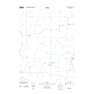
2013 Map of Brownsville
USGS Topo · Published 2013About this map
The E Fork Whitewater River carves through the eastern portion of this landscape, defining the character of the area surrounding Brownsville. Further west, the drainage systems of Nolands Fork, Whitewater River, and Simpson Cr create a network of waterways that have historically influenced the placement of rural crossroads and agriculture. Smaller settlements like Philomath, Waterloo, and Springersville appear as concentrated points along a grid of county roads, such as Pottershop Rd and W Fayette Co Line Rd. The map illustrates a stable agricultural region where legacy property lines and township divisions, like the Abington Twp Line Rd, persist alongside modern infrastructure. This 2013 survey is particularly useful for genealogists tracing family locations in Fayette and Union counties, where local landmarks like Lyonsville and the winding course of Butlers Cr remain central to the local geography.
Find a feature on this map
85 named features on this map. Tap any name to fly to it.
Don’t see what you’re looking for? This feature index may not catch every label — zoom into the map to look around manually.
Map Details
Editions of this 2013 Brownsville Map
This is the sole edition of this map. No revisions or reprints were ever made.
Other maps of this area

1915 · New Paris
USGS Topo · 1:48,000

1915 · College Corner
USGS Topo · 1:48,000

1918 · College Corner
USGS Topo · 1:62,500

1918 · New Paris
USGS Topo · 1:62,500

1948 · Fairfield
USGS Topo · 1:24,000

1953 · Cincinnati
USGS Topo · 1:250,000

1956 · Everton
USGS Topo · 1:24,000

1956 · Alpine
USGS Topo · 1:24,000

1956 · Brownsville
USGS Topo · 1:24,000

1956 · Connersville
USGS Topo · 1:24,000