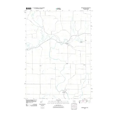
2010 Map of Browntown
USGS Topo · Published 2010About this map
The Pecatonica River winds through this southern Wisconsin landscape, defining the character of the borderlands between Lafayette and Green Counties. The village of Browntown sits as a central hub for the surrounding agricultural community, while Martintown anchors the southern reaches near the Illinois state line. This rural corridor is notable for its well-preserved network of local cemeteries, including Union Cemetery, La Due Cemetery, and Michael Cemetery, which offer valuable points of interest for genealogists tracing family histories in the Wiota area.
Find a feature on this map
59 named features on this map. Tap any name to fly to it.
Don’t see what you’re looking for? This feature index may not catch every label — zoom into the map to look around manually.
Map Details
Editions of this 2010 Browntown Map
This is the sole edition of this map. No revisions or reprints were ever made.
Other maps of this area

1920 · Monroe
USGS Topo · 1:62,500

1922 · Monroe
USGS Topo · 1:62,500

1923 · South Wayne
USGS Topo · 1:62,500

1937 · Lena
USGS Topo · 1:48,000

1939 · Freeport
USGS Topo · 1:48,000

1942 · Lena
USGS Topo · 1:62,500

1943 · Lena
USGS Topo · 1:62,500

1944 · Freeport
USGS Topo · 1:62,500

1954 · Rockford
USGS Topo · 1:250,000

1955 · Rockford
USGS Topo · 1:250,000