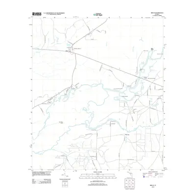
2012 Map of Bruce
USGS Topo · Published 2012About this map
The Choctawhatchee River defines the heart of this landscape, its winding course creating a network of sloughs, lakes, and islands such as Cowford Island and East River Island. The settlement of Bruce sits near the junction of several local routes, serving as a gateway to the river’s many camps and landings. These points of access, including Miller Landing and Cedar Tree Landing, reflect a long-standing reliance on the waterway for both transportation and recreation.
Find a feature on this map
88 named features on this map. Tap any name to fly to it.
Don’t see what you’re looking for? This feature index may not catch every label — zoom into the map to look around manually.
Map Details
Editions of this 2012 Bruce Map
This is the sole edition of this map. No revisions or reprints were ever made.
Other maps of this area

1935 · De Funiak Springs
USGS Topo · 1:48,000

1936 · Point Washington
USGS Topo · 1:48,000

1938 · De Funiak Springs
USGS Topo · 1:62,500

1939 · Point Washington
USGS Topo · 1:62,500

1943 · Seminole Hills
USGS Topo · 1:24,000

1943 · West Bay
USGS Topo · 1:24,000

1944 · Seminole Hills
USGS Topo · 1:31,680

1944 · West Bay
USGS Topo · 1:31,680

1944 · Bruce
USGS Topo · 1:24,000

1945 · Red Head
USGS Topo · 1:31,680