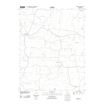
2011 Map of Brumley
USGS Topo · Published 2011About this map
The settlement of Brumley and its surrounding rural hamlets serve as the focal point for this landscape in the northern Ozarks. The area is defined by a dense network of winding creeks and branches, including the significant drainages of Brushy Fork, Mill Creek, and Rollins Creek. These waterways carve through the terrain, creating distinct landforms such as Pemberton Ridge and Barnes Hollow. Smaller, historically significant communities like Keethtown, Samtown, Faith, and Hawkeye are scattered throughout the region, many connected by narrow local roads named for families and landmarks.
Find a feature on this map
76 named features on this map. Tap any name to fly to it.
Don’t see what you’re looking for? This feature index may not catch every label — zoom into the map to look around manually.
Map Details
Editions of this 2011 Brumley Map
This is the sole edition of this map. No revisions or reprints were ever made.
Other maps of this area

1888 · Versailles
USGS Topo · 1:125,000

1888 · Tuscumbia
USGS Topo · 1:125,000

1893 · Versailles
USGS Topo · 1:125,000

1894 · Tuscumbia
USGS Topo · 1:125,000

1932 · Versailles No 4
USGS Topo · 1:48,000

1933 · Stoutland
USGS Topo · 1:62,500

1933 · Iberia
USGS Topo · 1:62,500

1934 · Toronto
USGS Topo · 1:24,000

1934 · Bagnell
USGS Topo · 1:24,000

1937 · Iberia
USGS Topo · 1:62,500