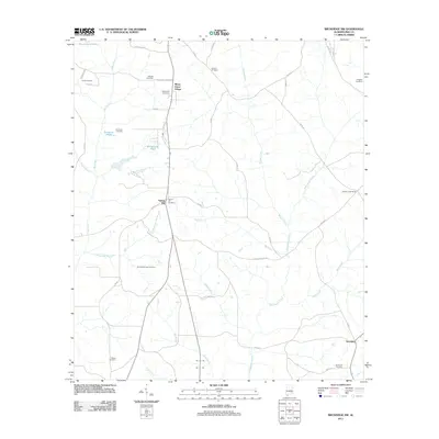
2011 Map of Brundidge NW
USGS Topo · Published 2011About this map
Whitewater Creek and its many tributaries, including Walnut Creek and Mims Creek, define the rural landscape of Pike County in this 2011 survey. The area is marked by long-standing community centers and family burial grounds, such as Mossy Grove Village in the north and the crossroads at Tarentum in the southeast. For genealogists, the map is particularly useful for locating numerous family-named landmarks like Ballard Hill Cemetery, Rhodes Cemetery, and Driggers Cemetery.
Find a feature on this map
51 named features on this map. Tap any name to fly to it.
Don’t see what you’re looking for? This feature index may not catch every label — zoom into the map to look around manually.
Map Details
Editions of this 2011 Brundidge NW Map
This is the sole edition of this map. No revisions or reprints were ever made.
Other maps of this area

1948 · Brundidge
USGS Topo · 1:62,500

1950 · Brundidge
USGS Topo · 1:62,500

1953 · Andalusia
USGS Topo · 1:250,000

1953 · Dothan
USGS Topo · 1:250,000

1954 · Dothan
USGS Topo · 1:250,000

1955 · Dothan
USGS Topo · 1:250,000

1957 · Andalusia
USGS Topo · 1:250,000

1960 · Brundidge
USGS Topo · 1:24,000

1960 · Brundidge SE
USGS Topo · 1:24,000

1960 · Victoria
USGS Topo · 1:24,000