Loading...
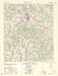
Loading map...1960 Map of Brundidge
USGS Topo · Published 1963About this map
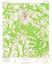
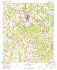
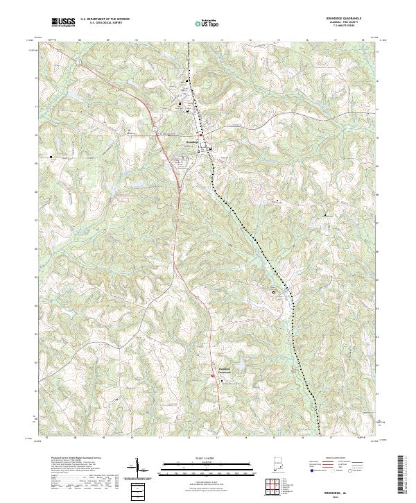
Brundidge serves as the central hub of this 1960 survey, situated at the intersection of local roads and the Atlantic Coast Line railroad. The town's layout includes a County High Sch, a centralized Water Tank, and a Drive-in Theatre located on the northern outskirts, reflecting the mid-century community's development. Beyond the town limits, the landscape transitions into a network of agricultural lands and creek bottoms, notably along the Pea River and Whitewater Creek.
Find a feature on this map
30 named features on this map. Tap any name to fly to it.
Don’t see what you’re looking for? This feature index may not catch every label — zoom into the map to look around manually.
Map Details
Date Portrayed1960
Date Published1963
PublisherU.S. Geological Survey
Map TypeTopographic
Scale1:24,000
Physical Dimensions21.9 x 26.7 inches
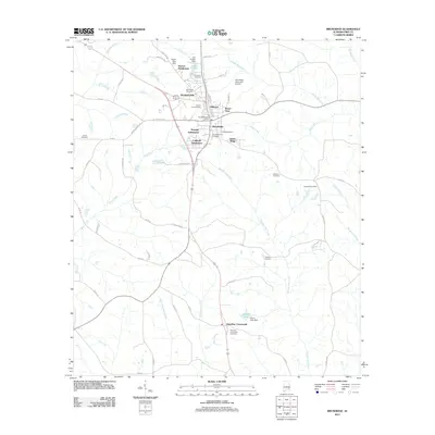
Editions of this 1960 Brundidge Map
2 editions found
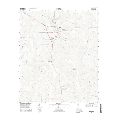
Historical Maps of Brundidge Through Time
9 maps found
Featured Locations
- Brundidge, AL
- Green Ridge, Brundidge
- Hillcrest, Brundidge
- Pierson Subdivision, Brundidge
- Windmill Hills, Brundidge
Source Details
SourceU.S. Geological Survey
CopyrightPublic Domain