
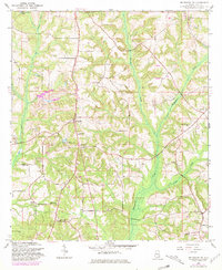
1960 Map of Brundidge NW
USGS Topo · Published 1963About this map
Spring Hill and Tarentum anchor this rural Pike County landscape as it appeared in the early 1960s, a period marked by significant industrial modification of the terrain. The northern and western reaches of the sheet are heavily scarred by numerous Strip Mine and Strip Mines operations, indicating a transition from traditional agriculture to intensive resource extraction. These industrial sites cut across the natural drainage patterns of Rich Creek and Mims Creek.
Find a feature on this map
25 named features on this map. Tap any name to fly to it.
Don’t see what you’re looking for? This feature index may not catch every label — zoom into the map to look around manually.
Map Details
Editions of this 1960 Brundidge NW Map
2 editions found
Other maps of this area

1948 · Brundidge
USGS Topo · 1:62,500

1950 · Brundidge
USGS Topo · 1:62,500

1953 · Andalusia
USGS Topo · 1:250,000

1953 · Dothan
USGS Topo · 1:250,000

1954 · Dothan
USGS Topo · 1:250,000

1955 · Dothan
USGS Topo · 1:250,000

1957 · Andalusia
USGS Topo · 1:250,000

1960 · Brundidge
USGS Topo · 1:24,000

1960 · Brundidge SE
USGS Topo · 1:24,000

1960 · Victoria
USGS Topo · 1:24,000