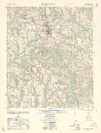
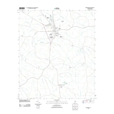
1962 Map of Brundidge
USGS Topo · Published 1962About this map
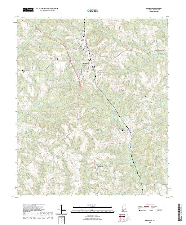
Brundidge serves as the focal point for this survey, showcasing a landscape transitioning through mid-century industrial and agricultural shifts. The town is anchored by the Atlantic Coast Line railroad and an active street grid featuring essential civic landmarks like the Post Office, a Water tower, and several schools including Pike County High School. To the north, the terrain is marked by multiple strip mines (abandoned) and a Sawmill near Lake Forbes, indicating the area's history of extraction and timber processing.
Find a feature on this map
38 named features on this map. Tap any name to fly to it.
Don’t see what you’re looking for? This feature index may not catch every label — zoom into the map to look around manually.
Map Details
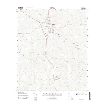
Editions of this 1962 Brundidge Map
This is the sole edition of this map. No revisions or reprints were ever made.
Historical Maps of Brundidge Through Time
9 maps found
Featured Locations
- Brundidge, AL
- Green Ridge, Brundidge
- Hillcrest, Brundidge
- Pierson Subdivision, Brundidge
- Windmill Hills, Brundidge