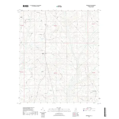
2018 Map of Brundidge NW
USGS Topo · Published 2018About this map
Spring Hill and the southeastern outskirts of Troy anchor this Pike County landscape, defined by a network of rural routes and family-named landmarks. The terrain is deeply carved by watercourses like Whitewater Cr and Red River, which flow through a patchwork of agricultural lands and wooded bottoms. Numerous small burial grounds are scattered throughout the quadrangle, including the Rhodes Cem, Ballard Hill Cem, and Boutwell-Bundy Cem, providing significant touchpoints for local genealogical research.
Find a feature on this map
72 named features on this map. Tap any name to fly to it.
Don’t see what you’re looking for? This feature index may not catch every label — zoom into the map to look around manually.
Map Details
Editions of this 2018 Brundidge NW Map
This is the sole edition of this map. No revisions or reprints were ever made.
Other maps of this area
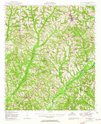
1948 · Brundidge
USGS Topo · 1:62,500
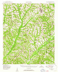
1950 · Brundidge
USGS Topo · 1:62,500

1953 · Andalusia
USGS Topo · 1:250,000

1953 · Dothan
USGS Topo · 1:250,000

1954 · Dothan
USGS Topo · 1:250,000

1955 · Dothan
USGS Topo · 1:250,000

1957 · Andalusia
USGS Topo · 1:250,000
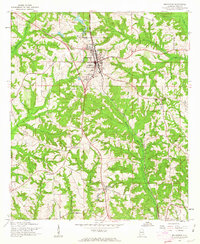
1960 · Brundidge
USGS Topo · 1:24,000
1960 · Brundidge SE
USGS Topo · 1:24,000
1960 · Victoria
USGS Topo · 1:24,000