
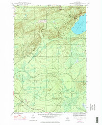
1946 Map of Bruneau Creek
USGS Topo · Published 1967About this map
Mt Horace Greeley dominates the northern reaches of this mid-century survey, rising above a landscape defined by the dense hydrological network of Michigan's Keweenaw Peninsula. The map detail centers on the western shoreline of Lake Gratiot, where the terrain begins its ascent toward the central ridges. This area serves as a primary drainage basin for numerous waterways, including the winding course of Bruneau Creek and the upper reaches of the Tobacco River.
Find a feature on this map
12 named features on this map. Tap any name to fly to it.
Don’t see what you’re looking for? This feature index may not catch every label — zoom into the map to look around manually.
Map Details
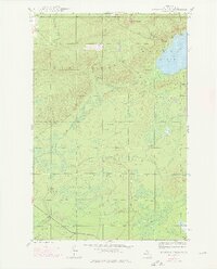
Editions of this 1946 Bruneau Creek Map
3 editions found
Other maps of this area

1938 · Bruneau Creek
USGS Topo · 1:31,680

1938 · Gay
USGS Topo · 1:31,680

1938 · Delaware
USGS Topo · 1:31,680

1939 · Deer Lake
USGS Topo · 1:31,680

1939 · Delaware
USGS Topo · 1:31,680

1940 · Deer Lake
USGS Topo · 1:31,680

1940 · Central
USGS Topo · 1:31,680

1941 · Mohawk
USGS Topo · 1:31,680

1946 · Phoenix
USGS Topo · 1:24,000

1946 · Mohawk
USGS Topo · 1:24,000
Featured Places
- Houghton Township, MI
- Eagle Harbor Township, MI
- Sherman Township, MI
- Gratiot Lake Beach, MI
- Keweenaw County, MI