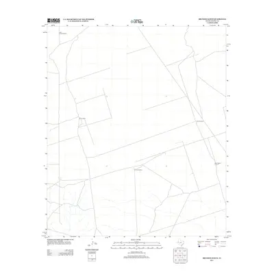
2012 Map of Brunson Ranch
USGS Topo · Published 2012About this map
Brunson Ranch serves as a primary landmark in this corner of Loving County, Texas, where the landscape is defined by the vital infrastructure of water management. The 2012 survey illustrates a sparse ranching environment where life and industry center on named water sources like Coyote Springs and a network of windmills. These features, including Indian Springs Windmill and Lehman Windmill, underscore the ongoing importance of groundwater in this arid West Texas region. The grid of service roads and the presence of the North Pipeline Windmill reflect the intersection of traditional cattle ranching with modern energy infrastructure. This document provides a record of the specialized land use in one of the most sparsely populated counties in the United States.
Find a feature on this map
6 named features on this map. Tap any name to fly to it.
Don’t see what you’re looking for? This feature index may not catch every label — zoom into the map to look around manually.
Map Details
Editions of this 2012 Brunson Ranch Map
This is the sole edition of this map. No revisions or reprints were ever made.
Other maps of this area

1954 · Hobbs
USGS Topo · 1:250,000

1954 · Pecos
USGS Topo · 1:250,000

1957 · Pecos
USGS Topo · 1:250,000

1958 · Hobbs
USGS Topo · 1:250,000
1969 · Cheyenne Draw SW
USGS Topo · 1:24,000
1969 · Rudd Draw NE
USGS Topo · 1:24,000
1969 · Rudd Draw
USGS Topo · 1:24,000
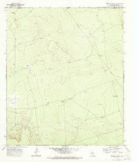
1970 · Brunson Ranch
USGS Topo · 1:24,000
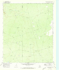
1970 · Cheyenne Draw
USGS Topo · 1:24,000
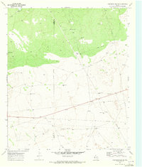
1970 · Cheyenne Draw SE
USGS Topo · 1:24,000