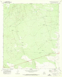
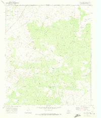
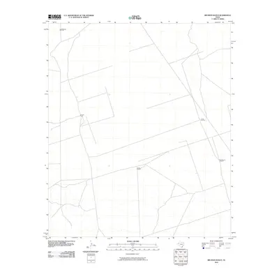
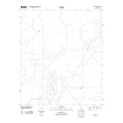
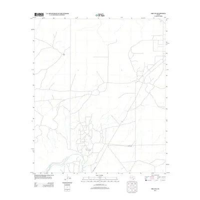
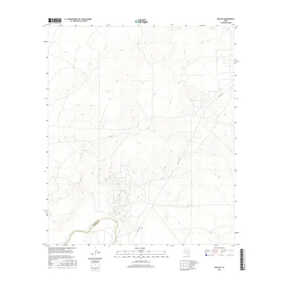
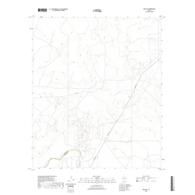
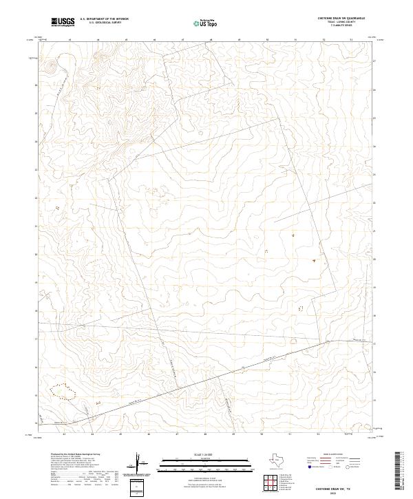
1969 Map of Cheyenne Draw SW
USGS Topo · Published 1972About this map
Water and energy infrastructure define this corner of Loving County during the late 1960s. The landscape is marked by a network of windmills named for local families and water conditions, including the West Lehman Windmill, Lineberry Windmill, and the Shallow Water Windmill. These features suggest a reliance on groundwater for ranching in an otherwise arid environment.
Find a feature on this map
14 named features on this map. Tap any name to fly to it.
Don’t see what you’re looking for? This feature index may not catch every label — zoom into the map to look around manually.
Map Details
Editions of this 1969 Cheyenne Draw SW Map
This is the sole edition of this map. No revisions or reprints were ever made.
Historical Maps of Loving County Through Time
48 maps found
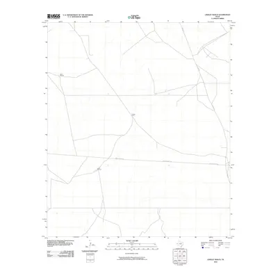
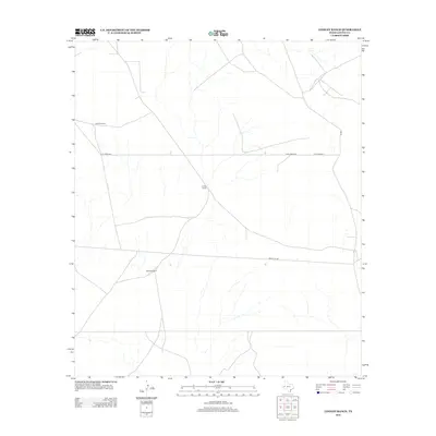
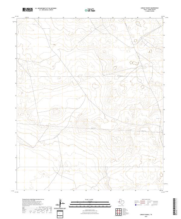
1961 Lindley Ranch
Loving County, TX
1967 Soda Lake NW
Loving County, TX
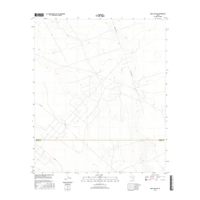
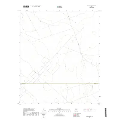
1968 Orla NE
Loving County, TX
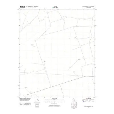
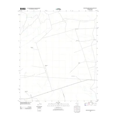
1969 Cheyenne Draw SW
Loving County, TX
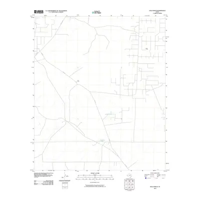
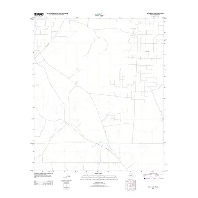
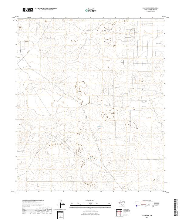
1969 Kyle Ranch
Loving County, TX
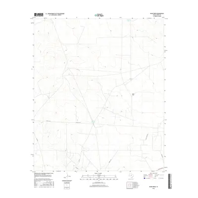
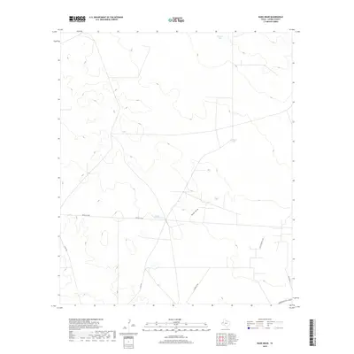
1969 Rudd Draw
Loving County, TX
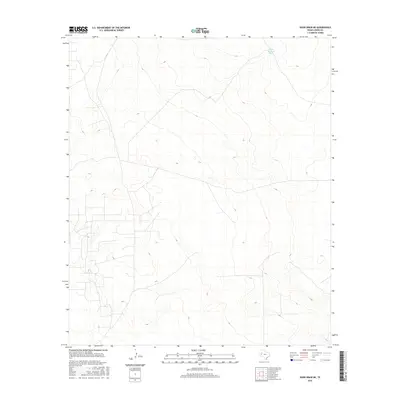
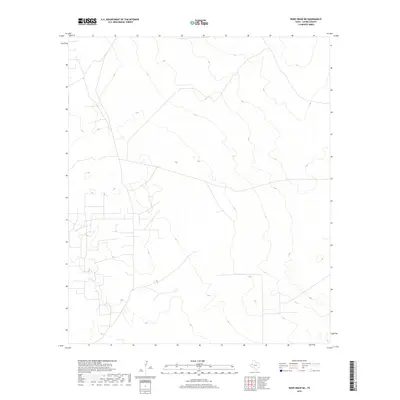
1969 Rudd Draw NE
Loving County, TX
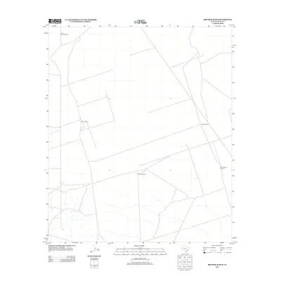
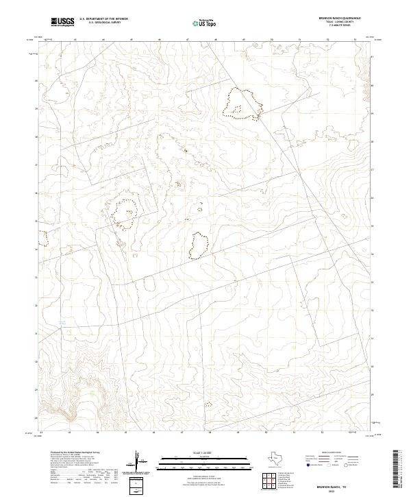
1970 Brunson Ranch
Loving County, TX
2010 Brunson Ranch
Loving County, TX
2010 Cheyenne Draw SW
Loving County, TX
2010 Kyle Ranch
Loving County, TX
2010 Lindley Ranch
Loving County, TX
2010 Orla NE
Loving County, TX
2010 Rudd Draw
Loving County, TX
2010 Rudd Draw NE
Loving County, TX
2010 Soda Lake NW
Loving County, TX
2012 Brunson Ranch
Loving County, TX
2012 Cheyenne Draw SW
Loving County, TX
2012 Kyle Ranch
Loving County, TX
2012 Lindley Ranch
Loving County, TX
2012 Orla NE
Loving County, TX
2012 Rudd Draw NE
Loving County, TX
2013 Rudd Draw
Loving County, TX
2013 Soda Lake NW
Loving County, TX
2016 Brunson Ranch
Loving County, TX
2016 Cheyenne Draw SW
Loving County, TX
2016 Kyle Ranch
Loving County, TX
2016 Lindley Ranch
Loving County, TX
2016 Orla NE
Loving County, TX
2016 Rudd Draw
Loving County, TX
2016 Rudd Draw NE
Loving County, TX
2016 Soda Lake NW
Loving County, TX
2019 Brunson Ranch
Loving County, TX
2019 Cheyenne Draw SW
Loving County, TX
2019 Kyle Ranch
Loving County, TX
2019 Lindley Ranch
Loving County, TX
2019 Orla NE
Loving County, TX
2019 Rudd Draw
Loving County, TX
2019 Rudd Draw NE
Loving County, TX
2019 Soda Lake NW
Loving County, TX
2022 Brunson Ranch
Loving County, TX
2022 Cheyenne Draw SW
Loving County, TX
2022 Kyle Ranch
Loving County, TX
2022 Lindley Ranch
Loving County, TX
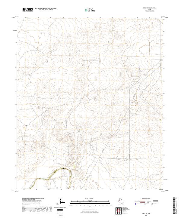
2022 Orla NE
Loving County, TX
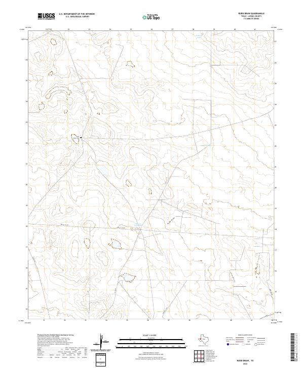
2022 Rudd Draw
Loving County, TX
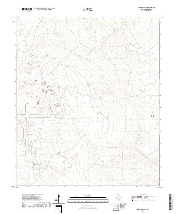
2022 Rudd Draw NE
Loving County, TX
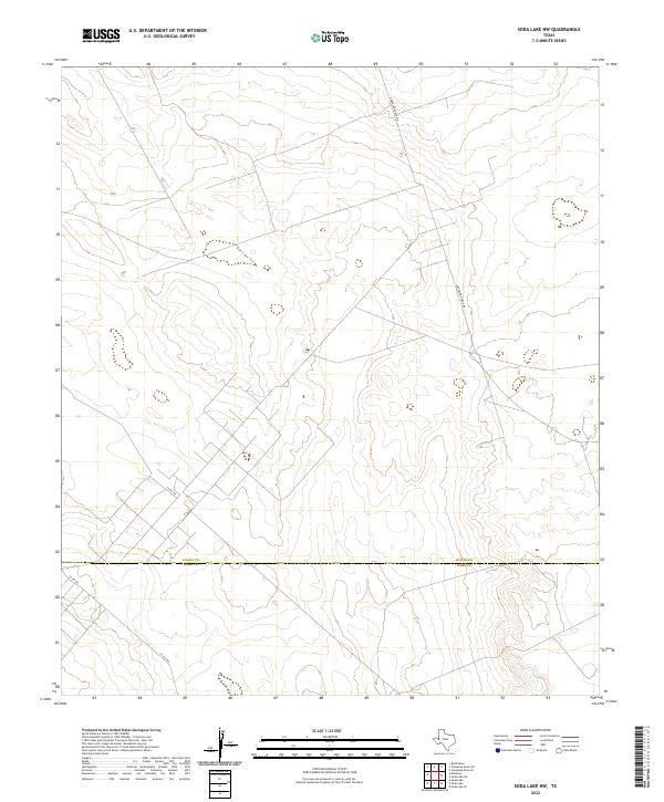
2022 Soda Lake NW
Loving County, TX