Loading...
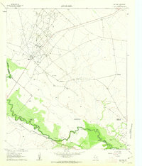
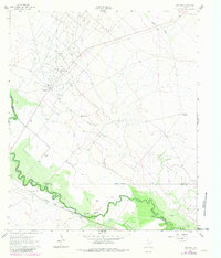
Loading map...1961 Map of Mentone
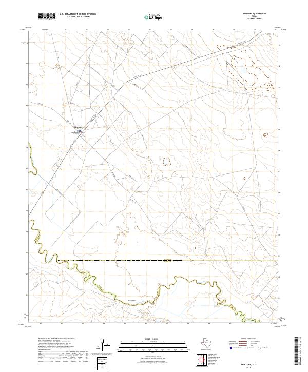
USGS Topo · Published 1963About this map
Mentone serves as the focal point of this arid landscape in the early 1960s, defined by the industrial expansion of the Wheat Oil Field. The map reveals a complex infrastructure of pipelines, numerous oil wells, and the Porterville Pumping Sta, all supporting the region's petroleum economy. Despite the industrial footprint, the presence of established homesteads such as Moorehead Ranch, Goodrich Ranch, and Wheat Ranch suggests a enduring ranching tradition that shares the land with the drill rigs and quarries.
Find a feature on this map
24 named features on this map. Tap any name to fly to it.
Don’t see what you’re looking for? This feature index may not catch every label — zoom into the map to look around manually.
Map Details
Date Portrayed1961
Date Published1963
PublisherU.S. Geological Survey
Map TypeTopographic
Scale1:24,000
Physical Dimensions23 x 26.9 inches
Editions of this 1961 Mentone Map
2 editions found
Historical Maps of Mentone Through Time
Featured Locations
Source Details
SourceU.S. Geological Survey
CopyrightPublic Domain