
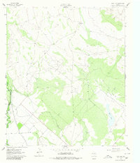
1961 Map of Soda Lake
USGS Topo · Published 1963About this map
The Pecos River serves as the western boundary for this arid landscape in the early 1960s, where the expansion of irrigation and the petroleum industry reshaped the West Texas terrain. This survey illustrates a complex network of water management, with the Barstow Canal and Cedarvale Canal cutting through the brush to support local agriculture. The interior of the quadrangle is dominated by energy extraction, specifically the Monroe Oil Field and the West Quito Oil Field, which are marked by numerous oil wells and drill holes.
Find a feature on this map
20 named features on this map. Tap any name to fly to it.
Don’t see what you’re looking for? This feature index may not catch every label — zoom into the map to look around manually.
Map Details
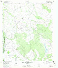
Editions of this 1961 Soda Lake Map
3 editions found
Other maps of this area

1921 · Toyah
USGS Topo · 1:125,000

1931 · Barstow
USGS Topo · 1:125,000

1954 · Pecos
USGS Topo · 1:250,000

1957 · Pecos
USGS Topo · 1:250,000

1961 · Mentone
USGS Topo · 1:24,000

1961 · Sand Lake
USGS Topo · 1:24,000

1963 · Quito Draw
USGS Topo · 1:24,000

1963 · Pecos East
USGS Topo · 1:24,000

1967 · Soda Lake NW
USGS Topo · 1:24,000

1968 · Soda Lake SE
USGS Topo · 1:24,000