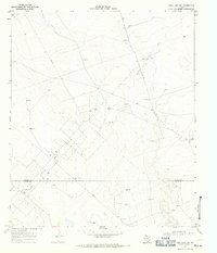
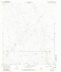
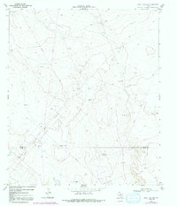
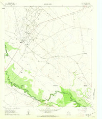
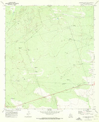
1967 Map of Soda Lake NW
USGS Topo · Published 1971About this map
Energy production and water management define this arid landscape along the Loving Co Ward Co line. Surveyed in 1967, the map illustrates the extensive infrastructure of the Two Fredis Oil Field and the Meridian Oil Field, where a network of pipelines and countless drill holes cross the terrain. For genealogists and local historians, the specific naming of isolated water sources like High Lonesome Well, Humble Well, and the Red Tank Windmill speaks to the vital necessity of water in this corner of West Texas.
Find a feature on this map
15 named features on this map. Tap any name to fly to it.
Don’t see what you’re looking for? This feature index may not catch every label — zoom into the map to look around manually.
Map Details
Editions of this 1967 Soda Lake NW Map
3 editions found
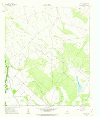
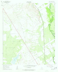
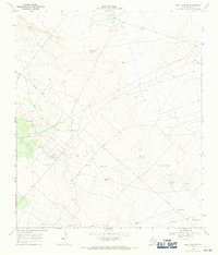
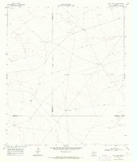
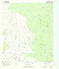
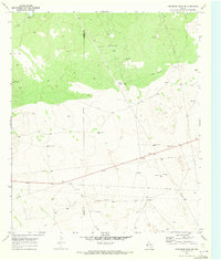
Other maps of this area

1954 · Pecos
USGS Topo · 1:250,000

1957 · Pecos
USGS Topo · 1:250,000
1961 · Soda Lake
USGS Topo · 1:24,000
1961 · Mentone
USGS Topo · 1:24,000
1961 · Sand Lake
USGS Topo · 1:24,000
1968 · Soda Lake SE
USGS Topo · 1:24,000
1968 · Soda Lake NE
USGS Topo · 1:24,000
1969 · Cheyenne Draw SW
USGS Topo · 1:24,000
1969 · Rudd Draw
USGS Topo · 1:24,000
1970 · Cheyenne Draw SE
USGS Topo · 1:24,000