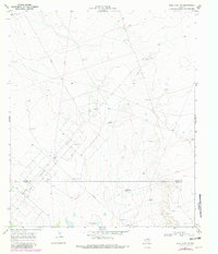
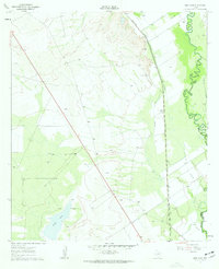
1967 Map of Soda Lake NW
USGS Topo · Published 1981About this map
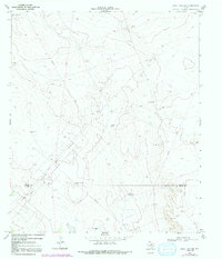
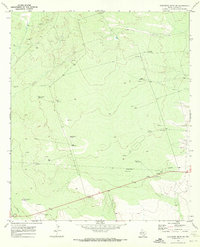
Oil Field operations dominate this arid landscape along the border of Loving and Ward counties. The 1967 survey reveals a complex network of pipelines and gravel roads supporting a sparse infrastructure of industrial and agricultural water sources. Remote installations like High Lonesome Well and the Red Tank Windmill speak to the necessity of water management in this dry region, while the Two Freds area indicates localized industrial activity. Throughout the quadrangle, multiple features including the Humble Well, Ward Well, and several Drill Holes illustrate the systematic exploration of subsurface resources. This environment is characterized by its functional utility, with landmarks like the Fence Windmill and Farm Well serving as vital outposts in an otherwise expansive and industrial terrain.
Find a feature on this map
15 named features on this map. Tap any name to fly to it.
Don’t see what you’re looking for? This feature index may not catch every label — zoom into the map to look around manually.
Map Details
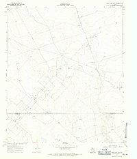
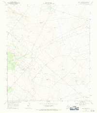
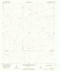
Editions of this 1967 Soda Lake NW Map
3 editions found
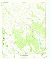
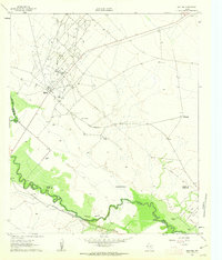
Other maps of this area

1954 · Pecos
USGS Topo · 1:250,000

1957 · Pecos
USGS Topo · 1:250,000
1961 · Soda Lake
USGS Topo · 1:24,000
1961 · Mentone
USGS Topo · 1:24,000
1961 · Sand Lake
USGS Topo · 1:24,000
1967 · Soda Lake NW
USGS Topo · 1:24,000
1968 · Soda Lake SE
USGS Topo · 1:24,000
1968 · Soda Lake NE
USGS Topo · 1:24,000
1969 · Cheyenne Draw SW
USGS Topo · 1:24,000
1969 · Rudd Draw
USGS Topo · 1:24,000