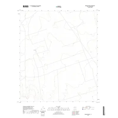
2019 Map of Brunson Ranch
USGS Topo · Published 2019About this map
Brunson Ranch sits at the center of this sparse West Texas landscape in Loving County, illustrating the isolated ranching operations that define this region. The terrain is characterized by a complex network of ephemeral drainage patterns and subtle elevation changes, where water is the primary geographic driver. To the southwest, Coyote Springs provides a rare named water source in an otherwise arid environment. This 2019 survey by the U.S. Geological Survey shows a land primarily shaped by natural contours rather than dense human settlement, with only a few unimproved roads and 4WD tracks traversing the plains to connect remote outposts.
Find a feature on this map
2 named features on this map. Tap any name to fly to it.
Don’t see what you’re looking for? This feature index may not catch every label — zoom into the map to look around manually.
Map Details
Editions of this 2019 Brunson Ranch Map
This is the sole edition of this map. No revisions or reprints were ever made.
Other maps of this area

1954 · Hobbs
USGS Topo · 1:250,000

1954 · Pecos
USGS Topo · 1:250,000

1957 · Pecos
USGS Topo · 1:250,000

1958 · Hobbs
USGS Topo · 1:250,000
1969 · Cheyenne Draw SW
USGS Topo · 1:24,000
1969 · Rudd Draw NE
USGS Topo · 1:24,000
1969 · Rudd Draw
USGS Topo · 1:24,000
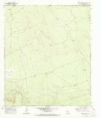
1970 · Brunson Ranch
USGS Topo · 1:24,000
1970 · Cheyenne Draw
USGS Topo · 1:24,000
1970 · Cheyenne Draw SE
USGS Topo · 1:24,000