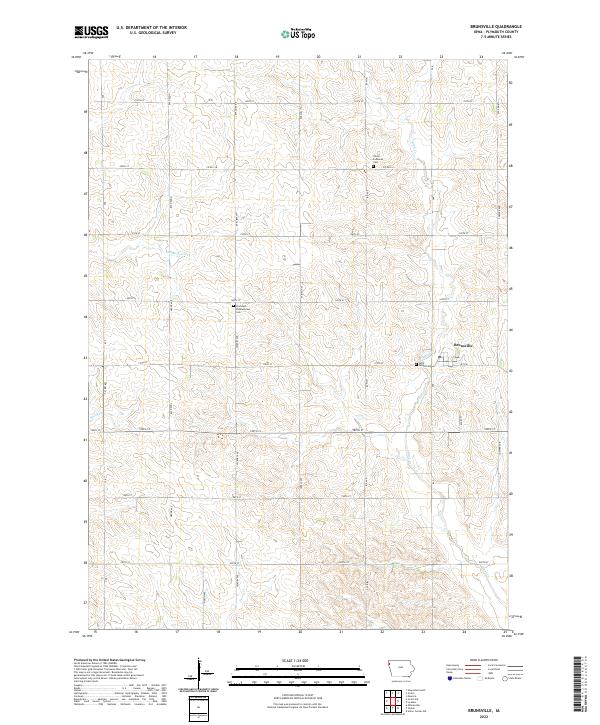
2022 Map of Brunsville
USGS Topo · Published 2022About this map
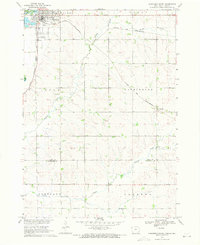
Brunsville serves as the primary population center in this section of Plymouth County, where the landscape is meticulously divided by a grid of agricultural section lines and county roads. The area's communal history is anchored by its rural graveyards, including Christ Lutheran Cem in the northern hills and Saint Peters Cem situated near the town center. These sites, along with the Plymouth Presbyterian Cem further west, reflect the denominational settlement patterns common in early Iowa township life. The natural drainage of the territory is defined by several modest waterways that carve through the fields, most notably Broken-Kettle Cr and Mink Cr. The survey illustrates a contemporary view of the region's transport network, dominated by local connectors like Co Rd C16 and Co Hwy K30, which facilitate the movement of goods in this deeply rooted farming community.
Find a feature on this map
32 named features on this map. Tap any name to fly to it.
Don’t see what you’re looking for? This feature index may not catch every label — zoom into the map to look around manually.
Map Details
Editions of this 2022 Brunsville Map
This is the sole edition of this map. No revisions or reprints were ever made.
Other maps of this area

1955 · Sioux City
USGS Topo · 1:250,000

1958 · Sioux City
USGS Topo · 1:250,000

1959 · Sioux City
USGS Topo · 1:250,000

1962 · Le Mars
USGS Topo · 1:62,500

1962 · Union Center
USGS Topo · 1:62,500

1964 · Hinton
USGS Topo · 1:24,000
1964 · Millnerville
USGS Topo · 1:24,000
1969 · Ireton
USGS Topo · 1:24,000
1969 · Brunsville
USGS Topo · 1:24,000
1969 · Hawarden South
USGS Topo · 1:24,000