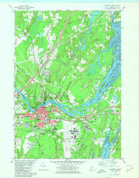
1980 Map of Brunswick
USGS Topo · Published 1980About this map
The Androscoggin River serves as the central artery for this coastal Maine landscape, dividing the settlements of Brunswick and Topsham. By the early 1980s, the area reflects a complex mix of academic life at Bowdoin College, industrial infrastructure, and military presence at the Brunswick Naval Air Station. The Maine Central Railroad cuts through the heart of the developed corridor, connecting local industry to the broader region.
Find a feature on this map
69 named features on this map. Tap any name to fly to it.
Don’t see what you’re looking for? This feature index may not catch every label — zoom into the map to look around manually.
Map Details
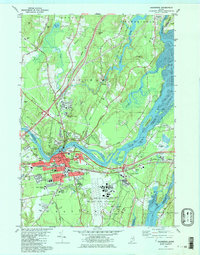
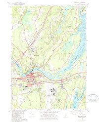
Editions of this 1980 Brunswick Map
3 editions found
Other maps of this area

1892 · Gardiner
USGS Topo · 1:62,500

1892 · Freeport
USGS Topo · 1:62,500

1894 · Bath
USGS Topo · 1:62,500

1908 · Lewiston
USGS Topo · 1:62,500

1920 · Bath
USGS Topo · 1:62,500

1941 · Freeport
USGS Topo · 1:62,500

1942 · Lewiston
USGS Topo · 1:62,500

1943 · Gardiner
USGS Topo · 1:62,500

1944 · Freeport
USGS Topo · 1:62,500

1945 · Bath
USGS Topo · 1:62,500