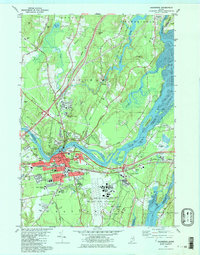
1980 Map of Brunswick
USGS Topo · Published 1984About this map
Brunswick and Topsham serve as the focal points of this coastal Maine landscape, where the Androscoggin River flows into the expansive tidal flats of Merrymeeting Bay. The cultural importance of Bowdoin College is clear, with its campus situated just south of the downtown core, while the massive footprint of the Brunswick Naval Air Station dominates the peninsula to the east. This era shows a community in transition, balancing established institutions like the First Parish Cem and Regional Memorial Hospital with modern mid-century additions such as a Drive-in Theater and the growing residential tracts of Jordan Acres. The convergence of the Maine Central railroad and the Cathance River highlights the historical industrial and transport patterns that shaped the growth of these riverfront towns.
Find a feature on this map
83 named features on this map. Tap any name to fly to it.
Don’t see what you’re looking for? This feature index may not catch every label — zoom into the map to look around manually.
Map Details
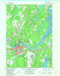
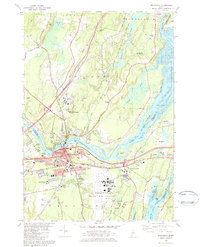
Editions of this 1980 Brunswick Map
3 editions found
Other maps of this area

1892 · Gardiner
USGS Topo · 1:62,500

1892 · Freeport
USGS Topo · 1:62,500

1894 · Bath
USGS Topo · 1:62,500

1908 · Lewiston
USGS Topo · 1:62,500

1920 · Bath
USGS Topo · 1:62,500

1941 · Freeport
USGS Topo · 1:62,500

1942 · Lewiston
USGS Topo · 1:62,500

1943 · Gardiner
USGS Topo · 1:62,500

1944 · Freeport
USGS Topo · 1:62,500

1945 · Bath
USGS Topo · 1:62,500