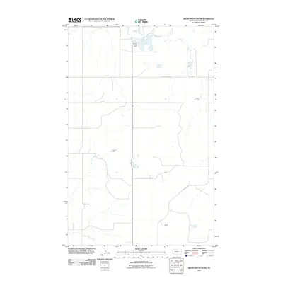
2011 Map of Brush Mountain SW
USGS Topo · Published 2011About this map
Snake Butte and Clay Butte define the topography of this corner of Roosevelt County, where the agricultural landscape is shaped by the intermittent flow of high-plains water. The land is marked by small-scale irrigation and stock water management, as evidenced by several reservoirs and structures including the Teepee Creeper Dam, Andy Capp Dam, and Picard Dam. These features illustrate the essential nature of water rights and management in this part of Montana.
Find a feature on this map
11 named features on this map. Tap any name to fly to it.
Don’t see what you’re looking for? This feature index may not catch every label — zoom into the map to look around manually.
Map Details
Editions of this 2011 Brush Mountain SW Map
This is the sole edition of this map. No revisions or reprints were ever made.
Other maps of this area

1947 · Capeneys Lake
USGS Topo · 1:24,000

1948 · Capeneys Lake
USGS Topo · 1:24,000

1948 · Sunnyhill School
USGS Topo · 1:24,000

1949 · Sunnyhill School
USGS Topo · 1:24,000

1954 · Wolf Point
USGS Topo · 1:250,000

1958 · Wolf Point
USGS Topo · 1:250,000

1974 · Brush Mountain
USGS Topo · 1:24,000

1974 · Red Bank Creek
USGS Topo · 1:24,000
1974 · Bull Butte
USGS Topo · 1:24,000

1982 · Culbertson
USGS Topo · 1:100,000