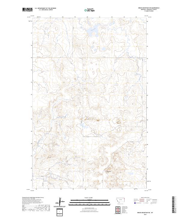
2024 Map of Brush Mountain SW
USGS Topo · Published 2024About this map
Clay Butte and Snake Butte rise as distinctive landmarks in this high plains landscape of Roosevelt County. The drainage patterns of the region are defined by the winding course of Sand Creek to the north and the westward flow of East Shotgun Creek through the central sections. This 2024 U.S. Geological Survey data reveals a terrain structured by a rigid grid of rural roads and township boundaries, including t30n r58e and t29n r58e. The transport network relies on Hwy 405 N and several county routes such as Co Rd 2051, which provide access to the remote sections of this Montana prairie. The map illustrates the contemporary intersection of traditional land survey divisions and modern infrastructure in a sparsely populated agricultural environment.
Find a feature on this map
17 named features on this map. Tap any name to fly to it.
Don’t see what you’re looking for? This feature index may not catch every label — zoom into the map to look around manually.
Map Details
Editions of this 2024 Brush Mountain SW Map
This is the sole edition of this map. No revisions or reprints were ever made.
Other maps of this area

1947 · Capeneys Lake
USGS Topo · 1:24,000

1948 · Capeneys Lake
USGS Topo · 1:24,000

1948 · Sunnyhill School
USGS Topo · 1:24,000

1949 · Sunnyhill School
USGS Topo · 1:24,000

1954 · Wolf Point
USGS Topo · 1:250,000

1958 · Wolf Point
USGS Topo · 1:250,000

1974 · Brush Mountain
USGS Topo · 1:24,000

1974 · Red Bank Creek
USGS Topo · 1:24,000
1974 · Bull Butte
USGS Topo · 1:24,000

1982 · Culbertson
USGS Topo · 1:100,000