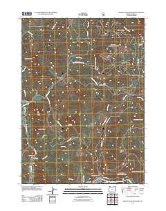
2011 Map of Brushy Bald Mountain
USGS Topo · Published 2011About this map
Lobster Creek flows through the center of this landscape, winding toward its confluence with the Rogue River at the southern boundary. The 2011 survey captures a heavily dissected terrain defined by prominent high points such as Brushy Bald Mountain, Ulmer Mountain, and First Prairie Mountain. Human activity is primarily oriented around forest management and ranching, evidenced by the network of national forest roads and the presence of the Sherman Ranch in the northeast. The southern reaches of the map include the Lobster Creek Bridge and the gravel deposit known as Lobster Bar along the riverbank. This map reflects the modern configuration of the Siskiyou National Forest area, where legacy place names like Bark Shanty Prairie and Squaw Valley persist alongside vital drainage systems including Euchre Creek and Mussel Creek.
Find a feature on this map
37 named features on this map. Tap any name to fly to it.
Don’t see what you’re looking for? This feature index may not catch every label — zoom into the map to look around manually.
Map Details
Editions of this 2011 Brushy Bald Mountain Map
This is the sole edition of this map. No revisions or reprints were ever made.
Other maps of this area
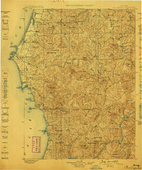
1899 · Port Orford
USGS Topo · 1:125,000
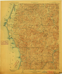
1903 · Port Orford
USGS Topo · 1:125,000
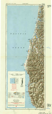
1954 · Coos Bay
USGS Topo · 1:250,000
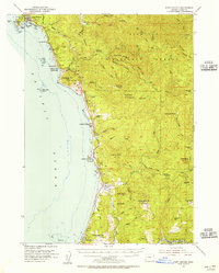
1954 · Port Orford
USGS Topo · 1:62,500
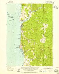
1954 · Gold Beach
USGS Topo · 1:62,500
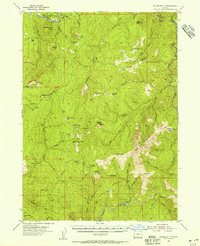
1954 · Collier Butte
USGS Topo · 1:62,500
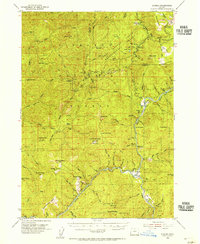
1954 · Agness
USGS Topo · 1:62,500
1958 · Coos Bay
USGS Topo · 1:250,000
1962 · Coos Bay
USGS Topo · 1:250,000
1986 · Father Mountain
USGS Topo · 1:24,000