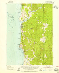
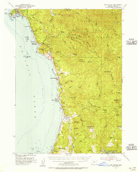
1954 Map of Gold Beach
USGS Topo · Published 1956About this map
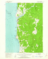
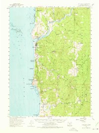
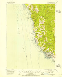
The Rogue River meets the Pacific Ocean at the twin settlements of Wedderburn and Gold Beach, serving as the primary geographic focal point for this mid-century coastal survey. This era is defined by a hybrid of river and land travel, illustrated by the Mailboat Route threading upstream toward the interior and the Gold Beach-Agness Trail navigating the high ground. The coastal landscape is dotted with early state park designations such as Geisel Monument State Park and Cape Sebastian State Park, while the rugged interior shows signs of industry and habitation with Wests Mine, Gardner Ranch, and the Grizzly Mtn VABM Lookout. To the south, the settlement of Pistol River sits near the mouth of its namesake waterway, flanked by prominent coastal landmarks like Cape Sebastian and Hunters Cove.
Find a feature on this map
65 named features on this map. Tap any name to fly to it.
Don’t see what you’re looking for? This feature index may not catch every label — zoom into the map to look around manually.
Map Details
Editions of this 1954 Gold Beach Map
3 editions found
Other maps of this area

1899 · Port Orford
USGS Topo · 1:125,000

1903 · Port Orford
USGS Topo · 1:125,000

1954 · Coos Bay
USGS Topo · 1:250,000
1954 · Cape Ferrelo
USGS Topo · 1:62,500
1954 · Port Orford
USGS Topo · 1:62,500
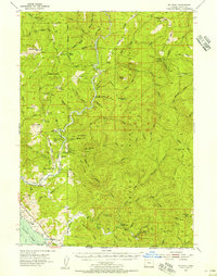
1954 · Collier Butte
USGS Topo · 1:62,500
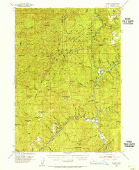
1954 · Mt. Emily
USGS Topo · 1:62,500
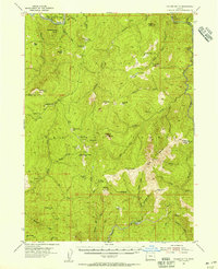
1954 · Agness
USGS Topo · 1:62,500

1958 · Coos Bay
USGS Topo · 1:250,000

1962 · Coos Bay
USGS Topo · 1:250,000