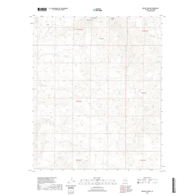
2018 Map of Brushy Canyon
USGS Topo · Published 2018About this map
Brushy Basin and the winding course of Sawmill Cr dominate this corner of Gila County, where the landscape is defined by an intricate network of drainages and named catchments. The mapping of water sources like Mountain Lion Spring and Post Office Tank highlights the critical importance of reliable water in this environment. The naming conventions of the tanks, such as Sycamore Tank, Mormon Tank, and Shorty Tank, often reflect the flora or the people who utilized these points in the early 21st century. The terrain is deeply incised by canyons, most notably Tanks Canyon and Sawmill Canyon, which direct the flow of seasonal runoff toward New Cr and Rocky Cr. This detailed 2018 survey provides a clear view of the ranching and natural resource infrastructure, where features like I S Hole mark specific landmarks in a complex topography.
Find a feature on this map
27 named features on this map. Tap any name to fly to it.
Don’t see what you’re looking for? This feature index may not catch every label — zoom into the map to look around manually.
Map Details
Editions of this 2018 Brushy Canyon Map
This is the sole edition of this map. No revisions or reprints were ever made.
Other maps of this area
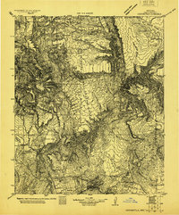
1922 · Chrysotile
USGS Topo · 1:125,000
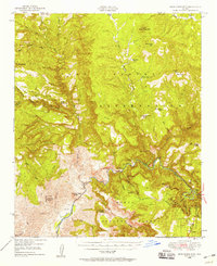
1946 · Blue House Mtn
USGS Topo · 1:62,500
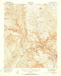
1951 · Blue House Mtn
USGS Topo · 1:62,500
1954 · Mesa
USGS Topo · 1:250,000
1957 · Mesa
USGS Topo · 1:250,000
1958 · Mesa
USGS Topo · 1:250,000
1960 · Mesa
USGS Topo · 1:250,000
1964 · Mesa
USGS Topo · 1:250,000
1966 · Brushy Canyon
USGS Topo · 1:24,000
1966 · Popcorn Canyon
USGS Topo · 1:24,000