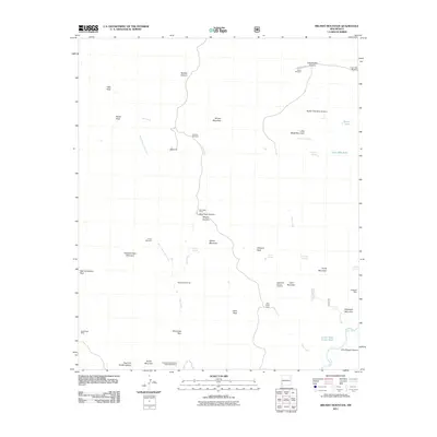
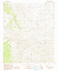
2011 Map of Brushy Mountain
USGS Topo · Published 2011About this map
Brushy Mountain and Brushy Canyon anchor a remote New Mexican landscape defined by drainage networks and working ranch infrastructure. The map documents a territory where life centers on water sources and mining, featuring numerous named springs like Tub Spring and Pearson Springs, alongside livestock facilities such as Walking H Windmill and the Oliver Windmill. To the south, the terrain descends toward the Gila River and the Redrock State Wildlife Experimental Area. This 2011 survey captures the industrial footprint of the region through the Black Eagle Mine and Telegraph Mine, while landmarks like the Fairground suggest local gathering points. The distribution of tanks and camps, including Ash Creek Camp, illustrates the high-desert land management patterns of Grant County during the early 21st century.
Find a feature on this map
50 named features on this map. Tap any name to fly to it.
Don’t see what you’re looking for? This feature index may not catch every label — zoom into the map to look around manually.
Map Details
Editions of this 2011 Brushy Mountain Map
This is the sole edition of this map. No revisions or reprints were ever made.
Other maps of this area

1954 · Silver City
USGS Topo · 1:250,000

1958 · Silver City
USGS Topo · 1:250,000
1959 · Steeple Rock
USGS Topo · 1:62,500
1959 · Redrock
USGS Topo · 1:62,500
1959 · Canador Peak
USGS Topo · 1:62,500
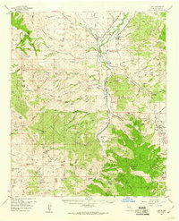
1959 · Cliff
USGS Topo · 1:62,500
1962 · Silver City
USGS Topo · 1:250,000
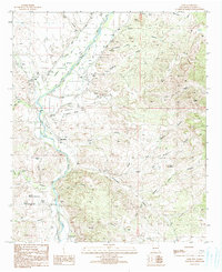
1990 · Cliff
USGS Topo · 1:24,000
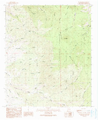
1990 · Bullard Peak
USGS Topo · 1:24,000
1990 · Antelope Ridge
USGS Topo · 1:24,000