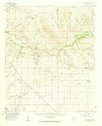
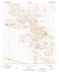
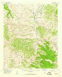
1959 Map of Canador Peak
USGS Topo · Published 1960About this map
The Gila River cuts through the high desert of the New Mexico-Arizona border, defining a landscape of irrigation and mineral extraction in the late 1950s. Near the settlement of Virden, the New Model Canal and Sunset Canal illustrate the vital water infrastructure necessary for ranching and agriculture in this arid terrain. The map reveals the distribution of isolated homesteads and livestock operations, such as Fuller Ranch and Backer Ranch, which are connected by a network of unimproved roads and a Jeep Trail.
Find a feature on this map
69 named features on this map. Tap any name to fly to it.
Don’t see what you’re looking for? This feature index may not catch every label — zoom into the map to look around manually.
Map Details
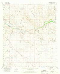
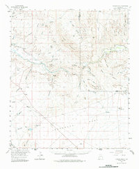
Editions of this 1959 Canador Peak Map
3 editions found
Other maps of this area
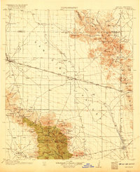
1917 · San Simon
USGS Topo · 1:125,000

1926 · Orange Butte
USGS Topo · 1:62,500
1950 · San Simon
USGS Topo · 1:62,500
1951 · San Simon
USGS Topo · 1:62,500

1954 · Silver City
USGS Topo · 1:250,000

1958 · Silver City
USGS Topo · 1:250,000
1959 · Steeple Rock
USGS Topo · 1:62,500
1959 · Redrock
USGS Topo · 1:62,500
1959 · Cliff
USGS Topo · 1:62,500
1959 · York Valley
USGS Topo · 1:62,500