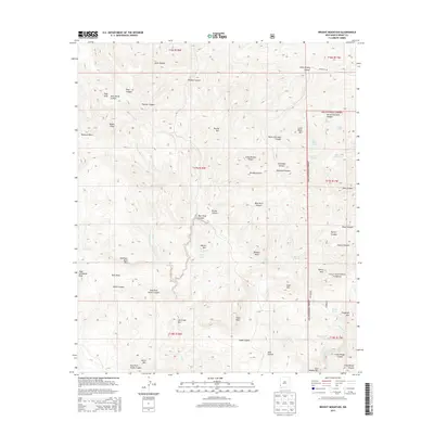
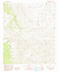
2013 Map of Brushy Mountain
USGS Topo · Published 2013About this map
Gila National Forest encompasses the eastern half of this landscape, characterized by a complex network of canyons and peaks that define the high desert of Grant County. The terrain is marked by significant topographical landmarks such as Wilson Mtn, Brushy Mtn, and Elephant Back Mtn. A crucial series of water sources, including Wilson Spring, Hatch Spring, and several tanks like Turner Tank, suggest a land managed for cattle and wildlife. In the south, the Gila River cuts through the Gila Middle Box, a distinctive canyon passage. This survey reveals the drainage patterns of Ash Cr and Slate Cr as they weave between summits like Nolen Peak and Tampico Peak, providing a clear record of the watershed and range improvements in this part of the Southwest.
Find a feature on this map
59 named features on this map. Tap any name to fly to it.
Don’t see what you’re looking for? This feature index may not catch every label — zoom into the map to look around manually.
Map Details
Editions of this 2013 Brushy Mountain Map
This is the sole edition of this map. No revisions or reprints were ever made.
Other maps of this area

1954 · Silver City
USGS Topo · 1:250,000

1958 · Silver City
USGS Topo · 1:250,000
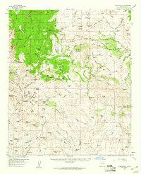
1959 · Steeple Rock
USGS Topo · 1:62,500
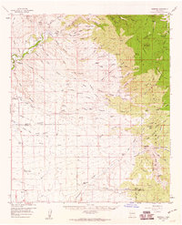
1959 · Redrock
USGS Topo · 1:62,500
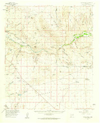
1959 · Canador Peak
USGS Topo · 1:62,500
1959 · Cliff
USGS Topo · 1:62,500
1962 · Silver City
USGS Topo · 1:250,000
1990 · Cliff
USGS Topo · 1:24,000
1990 · Bullard Peak
USGS Topo · 1:24,000
1990 · Antelope Ridge
USGS Topo · 1:24,000