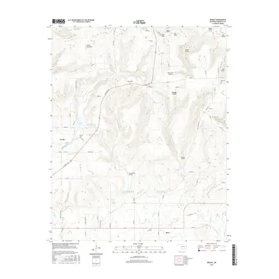
2016 Map of Brushy
USGS Topo · Published 2016About this map
Brushy Mountains dominate the northern landscape of this region, providing a high-relief backdrop to a series of deep drainages including Wildcat Hollow and Sonny Gile Hollow. The settlement pattern is concentrated along the valleys and lower elevations, anchored by the communities of Brushy and Akins. Water management is a defining characteristic of the terrain, with several reservoirs such as Sallisaw Creek Site 22 Reservoir and Sallisaw Creek Site 37 Reservoir modifying the natural flow of Little Sallisaw Cr and its tributaries. For those researching local families, the map is a primary resource for locating rural burial grounds including Northview Cem, Rocky Point Cem, and Sequoyah Cem. The presence of the Old Stagecoach Rd in the eastern section suggests historical travel corridors that predated the modern highway system, while numerous named hollows like Obi Hollow and Mud Spring Hollow reflect long-standing local nomenclature for the folds of the Oklahoma hills.
Find a feature on this map
70 named features on this map. Tap any name to fly to it.
Don’t see what you’re looking for? This feature index may not catch every label — zoom into the map to look around manually.
Map Details
Editions of this 2016 Brushy Map
This is the sole edition of this map. No revisions or reprints were ever made.
Other maps of this area
1898 · Tahlequah
USGS Topo · 1:125,000
1900 · Sallisaw
USGS Topo · 1:125,000
1901 · Tahlequah
USGS Topo · 1:125,000
1905 · Tahlequah
USGS Topo · 1:125,000
1911 · Sallisaw
USGS Topo · 1:125,000
1946 · Fort Smith
USGS Topo · 1:250,000
1965 · Fort Smith
USGS Topo · 1:250,000
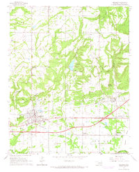
1966 · Muldrow
USGS Topo · 1:24,000
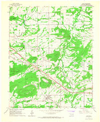
1966 · Gans
USGS Topo · 1:24,000
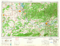
1967 · Fort Smith
USGS Topo · 1:250,000