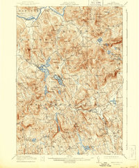
1914 Map of Bryant Pond
USGS Topo · Published 1944About this map
The Grand Trunk RR carves a path through the interior of Oxford County, following the natural corridors created by Bryant Pond and South Pond. This early 20th-century landscape is defined by its industrial waterpower, with Abbotts Mill and Walkers Mill marking the points where mountain streams were harnessed for production. The settlement pattern is densely agrarian and educational, evidenced by a high concentration of local institutions such as Greenwood School, Patch Mountain School, and Tubbs School serving the remote homesteads of Woodstock and Greenwood. In the north, the Androscoggin River provides a broad valley for the settlements of Hanover and Rumford Corner, while the southern reaches near West Paris and Snows Falls show the rugged transition toward the manufacturing and agricultural centers of Norway and Paris.
Find a feature on this map
143 named features on this map. Tap any name to fly to it.
Don’t see what you’re looking for? This feature index may not catch every label — zoom into the map to look around manually.
Map Details
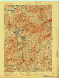
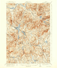
Editions of this 1914 Bryant Pond Map
4 editions found
Other maps of this area

1896 · Norway
USGS Topo · 1:62,500

1908 · Poland
USGS Topo · 1:62,500

1909 · Fryeburg
USGS Topo · 1:62,500

1911 · Fryeburg
USGS Topo · 1:62,500

1911 · Bryant Pond
USGS Topo · 1:62,500

1911 · Buckfield
USGS Topo · 1:62,500

1913 · Buckfield
USGS Topo · 1:62,500

1914 · Bethel
USGS Topo · 1:62,500

1914 · Bryant Pond
USGS Topo · 1:62,500

1926 · Dixfield
USGS Topo · 1:62,500