
1914 Map of Bryant Pond
USGS Topo · Published 1914About this map
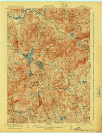
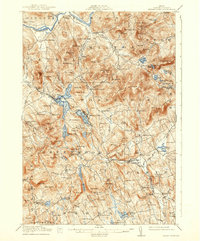
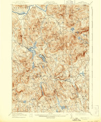
The Androscoggin River carves through the northern reaches of this Oxford County landscape, where the Grand Trunk railroad dictates the rhythm of early 20th-century commerce. This transport artery connects a series of mountain-shadowed settlements, including Locke Mills, Bryant Pond, and West Paris. The map reveals a decentralized economy of small-scale industry and education, evidenced by scattered sites like Abbotts Mill and Willis Mill, alongside numerous local institutions such as the Milletville School and Patch Mountain School. To the east, the village of Paris Hill overlooks a complex terrain of ridges and peaks like Mt Christopher and Mt Abram. These detailed topographical surveys from the office of George Otis Smith provide a clear record of rural Maine's infrastructure before modern highway development reshaped these valley communities.
Find a feature on this map
165 named features on this map. Tap any name to fly to it.
Don’t see what you’re looking for? This feature index may not catch every label — zoom into the map to look around manually.
Map Details
Editions of this 1914 Bryant Pond Map
4 editions found
Other maps of this area

1896 · Norway
USGS Topo · 1:62,500

1908 · Poland
USGS Topo · 1:62,500

1909 · Fryeburg
USGS Topo · 1:62,500

1911 · Fryeburg
USGS Topo · 1:62,500

1911 · Bryant Pond
USGS Topo · 1:62,500

1911 · Buckfield
USGS Topo · 1:62,500

1913 · Buckfield
USGS Topo · 1:62,500

1914 · Bethel
USGS Topo · 1:62,500

1926 · Dixfield
USGS Topo · 1:62,500

1927 · Rumford
USGS Topo · 1:48,000