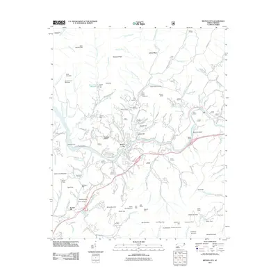
2011 Map of Bryson City
USGS Topo · Published 2011About this map
Bryson City serves as the central hub of this North Carolina landscape, where the Tuckasegee River winds through a terrain defined by significant elevation changes and deep mountain coves. The town's infrastructure, including the Bryson City Dam and Bryson City Reservoir, reflects the local management of water resources in the southern Appalachians. Surrounding the town, numerous family and community burial grounds like Swain Memorial Cemetery, Laney Cemetery, and Blankenship Cemetery offer valuable points of reference for genealogists tracing local lineage.
Find a feature on this map
192 named features on this map. Tap any name to fly to it.
Don’t see what you’re looking for? This feature index may not catch every label — zoom into the map to look around manually.
Map Details
Editions of this 2011 Bryson City Map
This is the sole edition of this map. No revisions or reprints were ever made.
Other maps of this area

1886 · Knoxville
USGS Topo · 1:125,000

1891 · Cowee
USGS Topo · 1:125,000

1892 · Knoxville
USGS Topo · 1:125,000

1893 · Mt Guyot
USGS Topo · 1:125,000

1894 · Knoxville
USGS Topo · 1:125,000

1895 · Knoxville
USGS Topo · 1:125,000

1897 · Cowee
USGS Topo · 1:125,000

1901 · Knoxville
USGS Topo · 1:125,000

1907 · Cowee
USGS Topo · 1:125,000

1912 · Mt Guyot
USGS Topo · 1:125,000