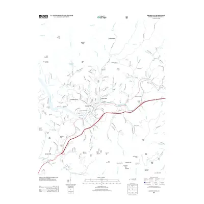
2013 Map of Bryson City
USGS Topo · Published 2013About this map
Bryson City sits at the confluence of several mountain waterways, including the prominent Tuckasegee River and Deep Creek. This 2013 survey illustrates the dense network of ridges and coves that define the Swain and Jackson county line, featuring landmarks like Lackey Hill and the Frye Mountain Lookout. Transportation and recreation are central to the area's layout, seen in the proximity of Tuckasegee Dock and the Sossamon Field Airport to the town center.
Find a feature on this map
204 named features on this map. Tap any name to fly to it.
Don’t see what you’re looking for? This feature index may not catch every label — zoom into the map to look around manually.
Map Details
Editions of this 2013 Bryson City Map
This is the sole edition of this map. No revisions or reprints were ever made.
Other maps of this area

1886 · Knoxville
USGS Topo · 1:125,000

1891 · Cowee
USGS Topo · 1:125,000

1892 · Knoxville
USGS Topo · 1:125,000

1893 · Mt Guyot
USGS Topo · 1:125,000

1894 · Knoxville
USGS Topo · 1:125,000

1895 · Knoxville
USGS Topo · 1:125,000

1897 · Cowee
USGS Topo · 1:125,000

1901 · Knoxville
USGS Topo · 1:125,000

1907 · Cowee
USGS Topo · 1:125,000

1912 · Mt Guyot
USGS Topo · 1:125,000