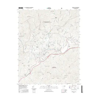
2016 Map of Bryson City
USGS Topo · Published 2016About this map
Bryson City serves as the focal point of this mountain landscape, situated at the confluence of several vital watercourses including the Tuckasegee River and the Oconaluftee River. The terrain transitions from the high ridges of the Great Smoky Mountains National Park in the north, marked by Bumgardner Ridge and Thomas Divide Trail, to the southern slopes of the Nantahala National Forest containing the Alarka Mountains.
Find a feature on this map
178 named features on this map. Tap any name to fly to it.
Don’t see what you’re looking for? This feature index may not catch every label — zoom into the map to look around manually.
Map Details
Editions of this 2016 Bryson City Map
This is the sole edition of this map. No revisions or reprints were ever made.
Other maps of this area

1886 · Knoxville
USGS Topo · 1:125,000

1891 · Cowee
USGS Topo · 1:125,000

1892 · Knoxville
USGS Topo · 1:125,000

1893 · Mt Guyot
USGS Topo · 1:125,000

1894 · Knoxville
USGS Topo · 1:125,000

1895 · Knoxville
USGS Topo · 1:125,000

1897 · Cowee
USGS Topo · 1:125,000

1901 · Knoxville
USGS Topo · 1:125,000

1907 · Cowee
USGS Topo · 1:125,000

1912 · Mt Guyot
USGS Topo · 1:125,000