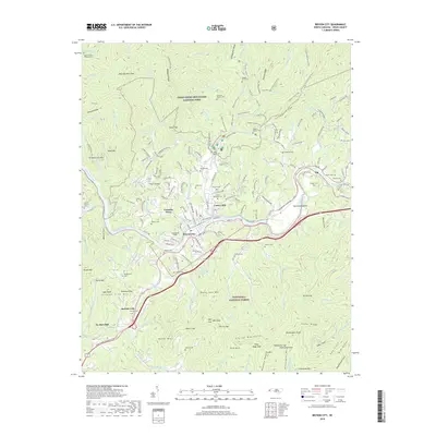
2019 Map of Bryson City
USGS Topo · Published 2019About this map
Bryson City serves as the central hub of this 2019 terrain survey, situated where the Tuckasegee River meets the southern boundary of the Great Smoky Mountains National Park. The landscape is defined by the steep elevation changes of the Alarka Mountains and significant peaks such as Kelly Bennett Peak and Rocky Face Mtn. Human settlement and history are heavily documented through numerous family cemeteries including Galbraith Cem, Wiggins-Watson Cem, and Sutton Cem, which are scattered throughout the valleys and ridge slopes.
Find a feature on this map
120 named features on this map. Tap any name to fly to it.
Don’t see what you’re looking for? This feature index may not catch every label — zoom into the map to look around manually.
Map Details
Editions of this 2019 Bryson City Map
This is the sole edition of this map. No revisions or reprints were ever made.
Other maps of this area

1886 · Knoxville
USGS Topo · 1:125,000

1891 · Cowee
USGS Topo · 1:125,000

1892 · Knoxville
USGS Topo · 1:125,000

1893 · Mt Guyot
USGS Topo · 1:125,000

1894 · Knoxville
USGS Topo · 1:125,000

1895 · Knoxville
USGS Topo · 1:125,000

1897 · Cowee
USGS Topo · 1:125,000

1901 · Knoxville
USGS Topo · 1:125,000

1907 · Cowee
USGS Topo · 1:125,000

1912 · Mt Guyot
USGS Topo · 1:125,000