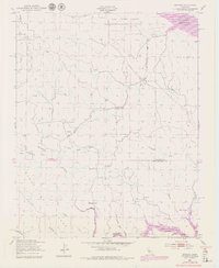
1949 Map of Bryson
USGS Topo · Published 1979About this map
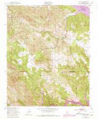
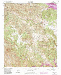
Bryson and the surrounding Sapaque Valley are the focal points of this mid-century survey, which documents a landscape transitioning under the influence of massive water management projects. While the 1949 base layer shows the traditional rural footprint of Monterey County, the 1979 photorevisions reveal the expansion of the San Antonio Reservoir and the Nacimiento Reservoir in the southern reaches. These reservoirs fundamentally altered the local drainage of Sapaque Creek and the Nacimiento River, inundating former canyon lands.
Find a feature on this map
40 named features on this map. Tap any name to fly to it.
Don’t see what you’re looking for? This feature index may not catch every label — zoom into the map to look around manually.
Map Details
Editions of this 1949 Bryson Map
6 editions found
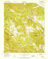
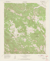
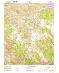
Other maps of this area

1919 · Bryson
USGS Topo · 1:62,500

1919 · Bradley
USGS Topo · 1:62,500

1919 · Adelaida
USGS Topo · 1:62,500

1919 · San Simeon
USGS Topo · 1:62,500

1932 · Adelaida
USGS Topo · 1:62,500

1937 · San Simeon
USGS Topo · 1:62,500

1941 · Bradley
USGS Topo · 1:62,500

1941 · Bryson
USGS Topo · 1:62,500

1942 · Adelaida
USGS Topo · 1:62,500

1942 · Bryson
USGS Topo · 1:62,500