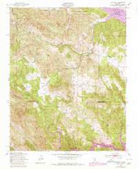
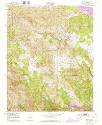
1949 Map of Bryson
USGS Topo · Published 1980About this map
The Sapaque Valley serves as a central corridor through this section of the Lucia Range, where small settlements and rural schoolhouses once dotted the landscape. Small communities like Bryson and the area of Pleyto are documented alongside local landmarks such as Smith Ranch and Beasley Flat. The map highlights the educational infrastructure of the mid-20th century with the Hesperia Sch and Pleyto Sch, providing a clear view of the social centers for these remote coastal range residents.
Find a feature on this map
31 named features on this map. Tap any name to fly to it.
Don’t see what you’re looking for? This feature index may not catch every label — zoom into the map to look around manually.
Map Details
Editions of this 1949 Bryson Map
6 editions found
Other maps of this area

1919 · Bryson
USGS Topo · 1:62,500

1919 · Bradley
USGS Topo · 1:62,500

1919 · Adelaida
USGS Topo · 1:62,500

1919 · San Simeon
USGS Topo · 1:62,500

1932 · Adelaida
USGS Topo · 1:62,500

1937 · San Simeon
USGS Topo · 1:62,500

1941 · Bradley
USGS Topo · 1:62,500

1941 · Bryson
USGS Topo · 1:62,500

1942 · Adelaida
USGS Topo · 1:62,500

1942 · Bryson
USGS Topo · 1:62,500