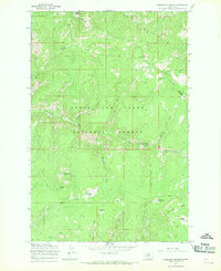
1967 Map of Bubbling Springs
USGS Topo · Published 1969About this map
The Lewis and Clark National Forest spans the border of Meagher and Cascade counties in this late 1960s topographic study. The landscape is defined by a dense network of mountain peaks and water sources, including Williams Mountain and Green Mountain, with the namesake Bubbling Springs located in the southeastern reach near Quartzite Ridge. Unlike more settled regions, the map reveals a wilderness dominated by specialized mountain parks, such as Iron Mines Park, Central Park, and Deer Park, which served as distinct landmarks for forest travelers and early prospectors.
Find a feature on this map
38 named features on this map. Tap any name to fly to it.
Don’t see what you’re looking for? This feature index may not catch every label — zoom into the map to look around manually.
Map Details
Editions of this 1967 Bubbling Springs Map
2 editions found
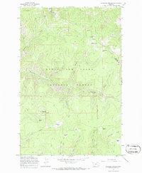
Other maps of this area

1886 · Great Falls
USGS Topo · 1:250,000

1886 · Fort Logan
USGS Topo · 1:250,000

1886 · Little Belt Mts.
USGS Topo · 1:250,000

1890 · Fort Benton
USGS Topo · 1:250,000

1892 · Fort Benton
USGS Topo · 1:250,000

1894 · Little Belt Mts.
USGS Topo · 1:250,000

1897 · Fort Benton
USGS Topo · 1:250,000

1897 · Little Belt Mts.
USGS Topo · 1:250,000

1898 · Little Belt Mts.
USGS Topo · 1:250,000

1902 · Little Belt Mts.
USGS Topo · 1:250,000