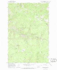
1967 Map of Bubbling Springs
USGS Topo · Published 1970About this map
Lewis and Clark National Forest spans this high-elevation landscape along the boundary of Cascade and Meagher counties. The area is defined by a series of alpine meadows and clearings designated as parks, including Iron Mines Park, Deer Park, Central Park, and Williams Park. These open spaces are connected by an extensive network of pack trails that navigate the drainages of Tenderfoot Creek and Placer Creek. Evidence of early mineral exploration is visible through several marked prospects and prospect sites, particularly near the summit of Iron Mountain. The southern portion of the sheet is dominated by significant geographic landmarks like Williams Mountain and the prominent Quartzite Ridge, while the namesake Bubbling Springs provides a localized water source within this heavily forested montane environment.
Find a feature on this map
35 named features on this map. Tap any name to fly to it.
Don’t see what you’re looking for? This feature index may not catch every label — zoom into the map to look around manually.
Map Details
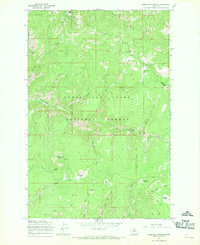
Editions of this 1967 Bubbling Springs Map
2 editions found
Other maps of this area

1886 · Great Falls
USGS Topo · 1:250,000

1886 · Fort Logan
USGS Topo · 1:250,000

1886 · Little Belt Mts.
USGS Topo · 1:250,000

1890 · Fort Benton
USGS Topo · 1:250,000

1892 · Fort Benton
USGS Topo · 1:250,000

1894 · Little Belt Mts.
USGS Topo · 1:250,000

1897 · Fort Benton
USGS Topo · 1:250,000

1897 · Little Belt Mts.
USGS Topo · 1:250,000

1898 · Little Belt Mts.
USGS Topo · 1:250,000

1902 · Little Belt Mts.
USGS Topo · 1:250,000