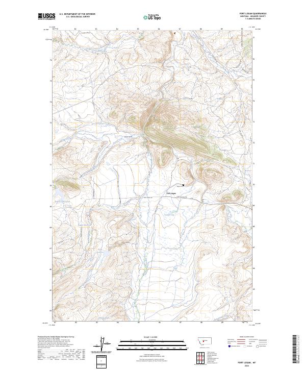
2024 Map of Fort Logan
USGS Topo · Published 2024About this map
Fort Logan serves as the focal point of this Meagher County landscape, situated near the intersection of Fort Logan Rd and Camas Cr Rd. This area of central Montana exhibits a sophisticated water management network, evidenced by the presence of Keep Cool Reservoir, Doggett Reservoir, and Ayers Reservoir. These features, along with Soldiers Lake, suggest a long history of ranching and agricultural reliance on the drainage basins of Elk Creek and Camas Creek.
Find a feature on this map
32 named features on this map. Tap any name to fly to it.
Don’t see what you’re looking for? This feature index may not catch every label — zoom into the map to look around manually.
Map Details
Editions of this 2024 Fort Logan Map
This is the sole edition of this map. No revisions or reprints were ever made.
Other maps of this area

1886 · Fort Logan
USGS Topo · 1:250,000

1948 · White Sulphur Springs
USGS Topo · 1:250,000

1958 · White Sulphur Springs
USGS Topo · 1:250,000

1961 · White Sulphur Springs
USGS Topo · 1:250,000

1965 · White Sulphur Springs
USGS Topo · 1:250,000

1966 · Boulder Baldy
USGS Topo · 1:24,000

1966 · Watson
USGS Topo · 1:24,000
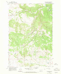
1966 · Ellis Canyon
USGS Topo · 1:24,000
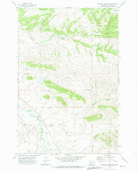
1971 · Whitetail Reservoir
USGS Topo · 1:24,000
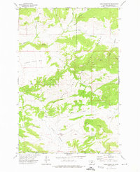
1971 · Sheep Mountain
USGS Topo · 1:24,000