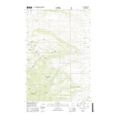
2017 Map of Watson
USGS Topo · Published 2017About this map
The settlement of Watson anchors this high-elevation landscape in Meagher County, where the southern portion is dominated by the Helena National Forest. The geography is defined by a dense network of drainages and named gulches, many of which carry names suggesting early ranching and prospecting history, such as Lambing Camp Gulch, Confederate Gulch, and Democrat Gulch. Movement through the area is facilitated by Lingshire Rd and Hwy 360, connecting the dispersed landmarks across the Meagher and Broadwater county line.
Find a feature on this map
40 named features on this map. Tap any name to fly to it.
Don’t see what you’re looking for? This feature index may not catch every label — zoom into the map to look around manually.
Map Details
Editions of this 2017 Watson Map
This is the sole edition of this map. No revisions or reprints were ever made.
Other maps of this area

1886 · Fort Logan
USGS Topo · 1:250,000

1948 · White Sulphur Springs
USGS Topo · 1:250,000

1958 · White Sulphur Springs
USGS Topo · 1:250,000

1961 · White Sulphur Springs
USGS Topo · 1:250,000

1965 · White Sulphur Springs
USGS Topo · 1:250,000

1966 · Boulder Baldy
USGS Topo · 1:24,000

1966 · Diamond City
USGS Topo · 1:24,000

1966 · Lingshire
USGS Topo · 1:24,000

1966 · Whites City
USGS Topo · 1:24,000

1966 · Watson
USGS Topo · 1:24,000