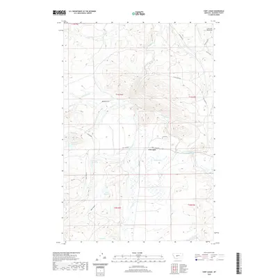
2020 Map of Fort Logan
USGS Topo · Published 2020About this map
Fort Logan serves as the focal point of this Meagher County landscape, situated where the Smith River meets the drainages of Camas Cr and Elk Cr. The topography is defined by the transition from the Little Belt Mountains in the northeast toward the varied benchlands and gulches to the west. Water management is a visible priority in this ranching country, evidenced by several significant impoundments including Keep Cool Reservoir, Ayers Reservoir, and Doggett Reservoir.
Find a feature on this map
31 named features on this map. Tap any name to fly to it.
Don’t see what you’re looking for? This feature index may not catch every label — zoom into the map to look around manually.
Map Details
Editions of this 2020 Fort Logan Map
This is the sole edition of this map. No revisions or reprints were ever made.
Other maps of this area
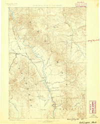
1886 · Fort Logan
USGS Topo · 1:250,000
1948 · White Sulphur Springs
USGS Topo · 1:250,000
1958 · White Sulphur Springs
USGS Topo · 1:250,000
1961 · White Sulphur Springs
USGS Topo · 1:250,000
1965 · White Sulphur Springs
USGS Topo · 1:250,000
1966 · Boulder Baldy
USGS Topo · 1:24,000
1966 · Watson
USGS Topo · 1:24,000
1966 · Ellis Canyon
USGS Topo · 1:24,000
1971 · Whitetail Reservoir
USGS Topo · 1:24,000
1971 · Sheep Mountain
USGS Topo · 1:24,000