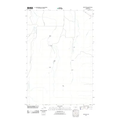
2011 Map of Sixteen NE
USGS Topo · Published 2011About this map
High ranching country in Gallatin County defines this area of the Big Belt Mountains foothills. The landscape is organized around family-named agricultural holdings, including the Campbell Ranch, Sunnyside Ranch, and McMurdo Ranch. These operations are supported by vital water management features such as the Doig Brothers Dam and Golden Meadow Dam. The drainage network is particularly detailed, showing the seasonal and perennial paths of Meadow Creek and the Middle Fork Sixteenmile Creek as they cut through the terrain. To the south, Elk Ridge provides a significant vertical landmark overlooking the convergence of local creek systems. Two primary thoroughfares, Maudlow Rd and 16 Mile Rd, provide the only major access through this sparsely settled territory, illustrating the isolated nature of Montana's rural interior during the early 21st century.
Find a feature on this map
14 named features on this map. Tap any name to fly to it.
Don’t see what you’re looking for? This feature index may not catch every label — zoom into the map to look around manually.
Map Details
Editions of this 2011 Sixteen NE Map
This is the sole edition of this map. No revisions or reprints were ever made.
Other maps of this area

1886 · Little Belt Mts.
USGS Topo · 1:250,000

1894 · Little Belt Mts.
USGS Topo · 1:250,000

1897 · Little Belt Mts.
USGS Topo · 1:250,000

1898 · Little Belt Mts.
USGS Topo · 1:250,000

1902 · Little Belt Mts.
USGS Topo · 1:250,000

1948 · White Sulphur Springs
USGS Topo · 1:250,000

1948 · Sixteen
USGS Topo · 1:24,000

1951 · Sixteen NE
USGS Topo · 1:24,000
1951 · Wallrock
USGS Topo · 1:24,000

1951 · Hamen
USGS Topo · 1:24,000