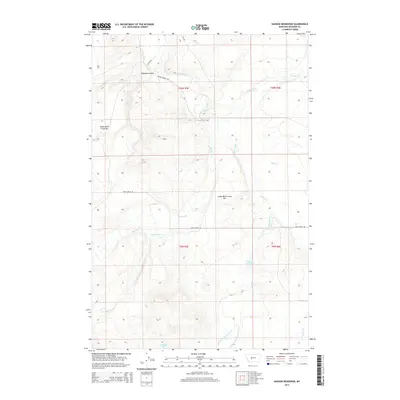
2014 Map of Hanson Reservoir
USGS Topo · Published 2014About this map
The Smith River winds through the heart of this Montana landscape, joined by a network of drainage systems that define the area's hydrology and historic land use. Prominent terrace features like Upper Birch Creek Bar and Lower Birch Creek Bar sit above the river's path, suggesting the long-term geological formation of this valley. Further south, the Hanson Reservoir and Jackson Lake provide focal points for water management and recreation in Meagher County.
Find a feature on this map
22 named features on this map. Tap any name to fly to it.
Don’t see what you’re looking for? This feature index may not catch every label — zoom into the map to look around manually.
Map Details
Editions of this 2014 Hanson Reservoir Map
This is the sole edition of this map. No revisions or reprints were ever made.
Other maps of this area

1886 · Fort Logan
USGS Topo · 1:250,000

1886 · Little Belt Mts.
USGS Topo · 1:250,000

1894 · Little Belt Mts.
USGS Topo · 1:250,000

1897 · Little Belt Mts.
USGS Topo · 1:250,000

1898 · Little Belt Mts.
USGS Topo · 1:250,000

1902 · Little Belt Mts.
USGS Topo · 1:250,000

1948 · White Sulphur Springs
USGS Topo · 1:250,000

1958 · White Sulphur Springs
USGS Topo · 1:250,000

1961 · White Sulphur Springs
USGS Topo · 1:250,000

1965 · White Sulphur Springs
USGS Topo · 1:250,000