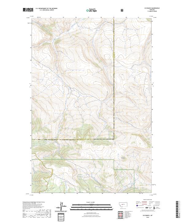
2024 Map of B K Ranch
USGS Topo · Published 2024About this map
The Helena National Forest encompasses much of this high-elevation landscape, where the headwaters of numerous drainages converge. The topography is defined by the prominent Elk Ridge and the distinctively named Mil-mil-teh Hill on the border of Meagher County. Water is the primary sculptor of this terrain, with the north-flowing Hound Creek and East Fork Hound Creek joined by Elk Creek and Crooked Creek as they carve through the timbered slopes. The map also delineates the high basins where French Creek, Butte Creek, and the North Fork Rock Creek originate. This 2024 survey reflects a modern view of the land, though the lack of developed infrastructure beyond the isolated pvt1 road highlights the enduring character of this remote mountain region. The intersection of county lines between Meagher, Cascade, and Lewis and Clark underscores the jurisdictional complexity of these high divides.
Find a feature on this map
19 named features on this map. Tap any name to fly to it.
Don’t see what you’re looking for? This feature index may not catch every label — zoom into the map to look around manually.
Map Details
Editions of this 2024 B K Ranch Map
This is the sole edition of this map. No revisions or reprints were ever made.
Other maps of this area

1886 · Great Falls
USGS Topo · 1:250,000

1886 · Fort Logan
USGS Topo · 1:250,000

1948 · White Sulphur Springs
USGS Topo · 1:250,000

1954 · Great Falls
USGS Topo · 1:250,000

1957 · Great Falls
USGS Topo · 1:250,000

1958 · White Sulphur Springs
USGS Topo · 1:250,000

1961 · White Sulphur Springs
USGS Topo · 1:250,000

1961 · Hound Creek Reservoir
USGS Topo · 1:24,000

1961 · Dana Ranch
USGS Topo · 1:24,000

1962 · Hogback Mountain
USGS Topo · 1:24,000